Transport Functions
Multimodal
Hub Profile
Place type
Populated place
Region
Indiana
Population
1,886
Time zone
America/Indiana/Indianapolis
Elevation
302 m
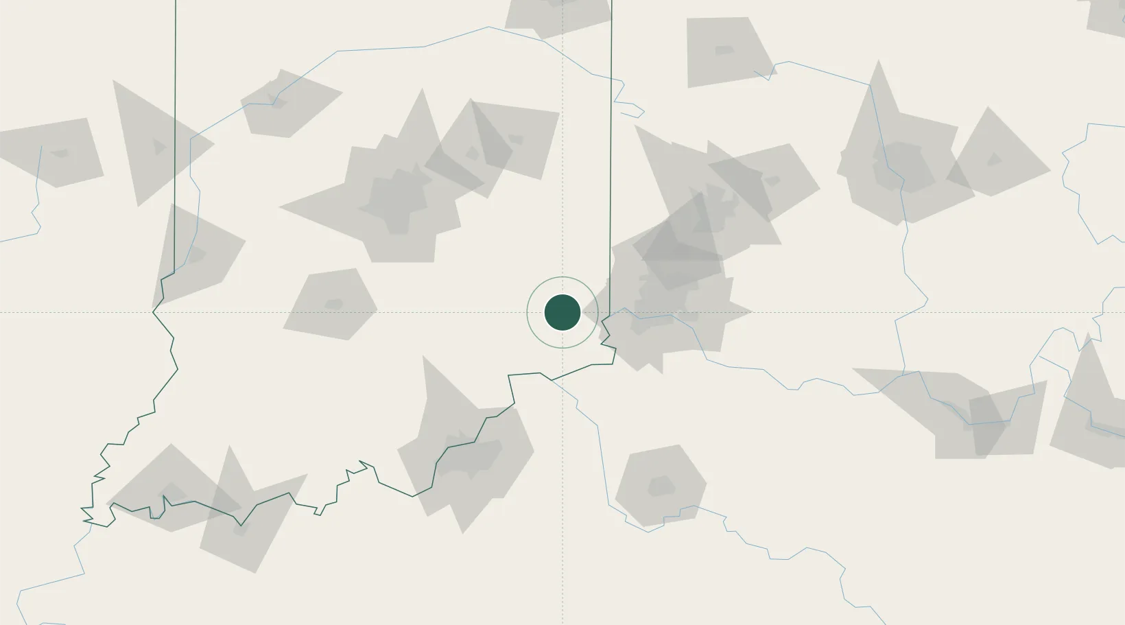
Location
Nearby Logistics Neighbours
Cities
- 1Sunman13 km
- 2Osgood15 km
- 3Aurora20 km
- 4Harrison30 km
- 5West Harrison31 km
Ports
- 1Toledo319 km
- 2Port Clinton325 km
- 3Michigan City328 km
- 4Sandusky330 km
- 5Huron335 km
Airports
Trade Zones
- 1FTZ No. 047 Boone County26 km
- 2FTZ No. 046 CIncinnati52 km
- 3FTZ No. 100 Dayton104 km
- 4FTZ No. 029 Louisville111 km
- 5FTZ No. 054 Clinton County120 km
DatabookThe Record of Consolidated Knowledge
United States beyond logistics?