Transport Functions
Port
Road
Hub Profile
Place type
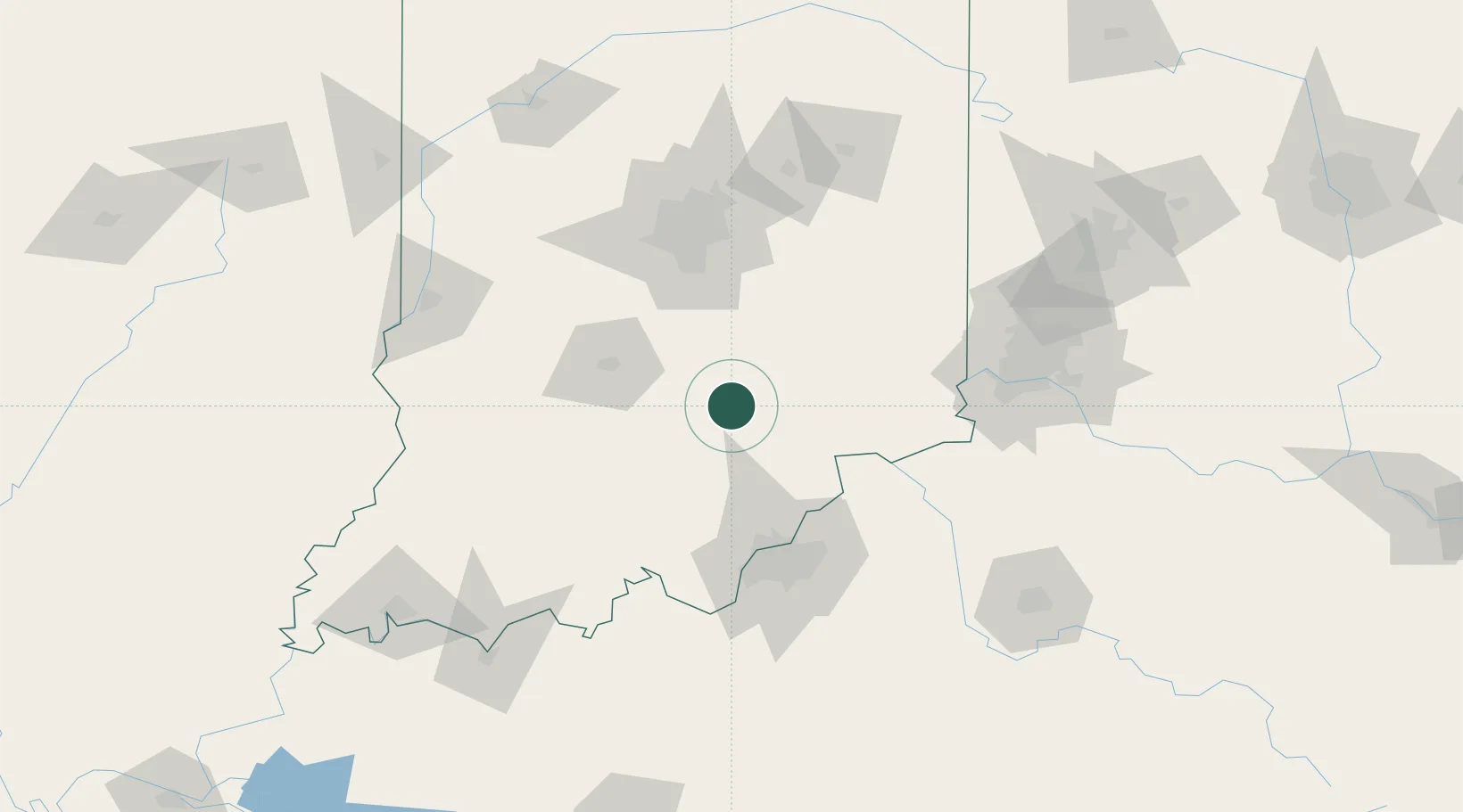
Populated place
Region
Indiana
Time zone
America/Indiana/Indianapolis
Elevation
171 m
Location
Nearby Logistics Neighbours
Cities
- 1Norman27 km
- 2Goshen, Scott39 km
- 3Butlerville40 km
- 4Flat Rock44 km
- 5Nabb49 km
Ports
- 1Gary317 km
- 2Michigan City318 km
- 3Indiana Harbor326 km
- 4Calumet Harbor335 km
- 5Chicago353 km
Airports
Trade Zones
- 1FTZ No. 029 Louisville79 km
- 2FTZ No. 072 Indianapolis90 km
- 3FTZ No. 047 Boone County92 km
- 4FTZ No. 046 CIncinnati125 km
- 5FTZ No. 100 Dayton170 km
DatabookThe Record of Consolidated Knowledge
United States beyond logistics?