Transport Functions
Rail
Road
Multimodal
Hub Profile
Place type
Populated place
Region
Indiana
Population
1,039
Time zone
America/Indiana/Indianapolis
Elevation
311 m
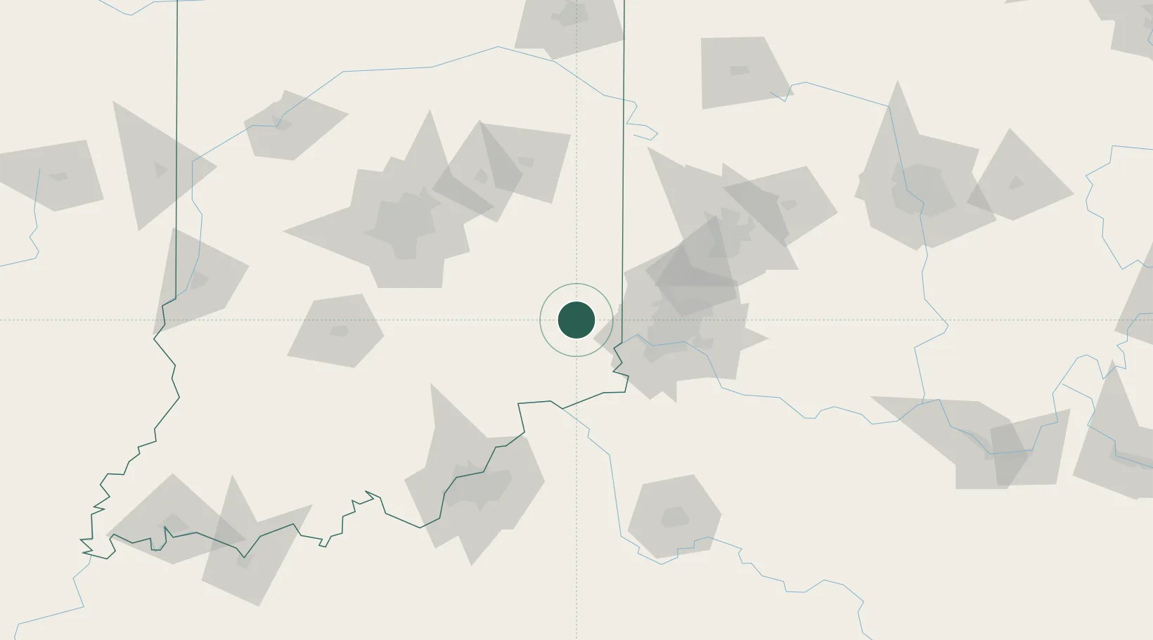
Location
Nearby Logistics Neighbours
Cities
- 1Milan13 km
- 2Osgood19 km
- 3Brooksville22 km
- 4Harrison25 km
- 5West Harrison25 km
Ports
- 1Toledo307 km
- 2Port Clinton313 km
- 3Michigan City317 km
- 4Sandusky319 km
- 5Huron324 km
Airports
Trade Zones
- 1FTZ No. 047 Boone County35 km
- 2FTZ No. 046 CIncinnati53 km
- 3FTZ No. 100 Dayton94 km
- 4FTZ No. 054 Clinton County115 km
- 5FTZ No. 072 Indianapolis118 km
DatabookThe Record of Consolidated Knowledge
United States beyond logistics?