Transport Functions
Port
Rail
Road
Multimodal
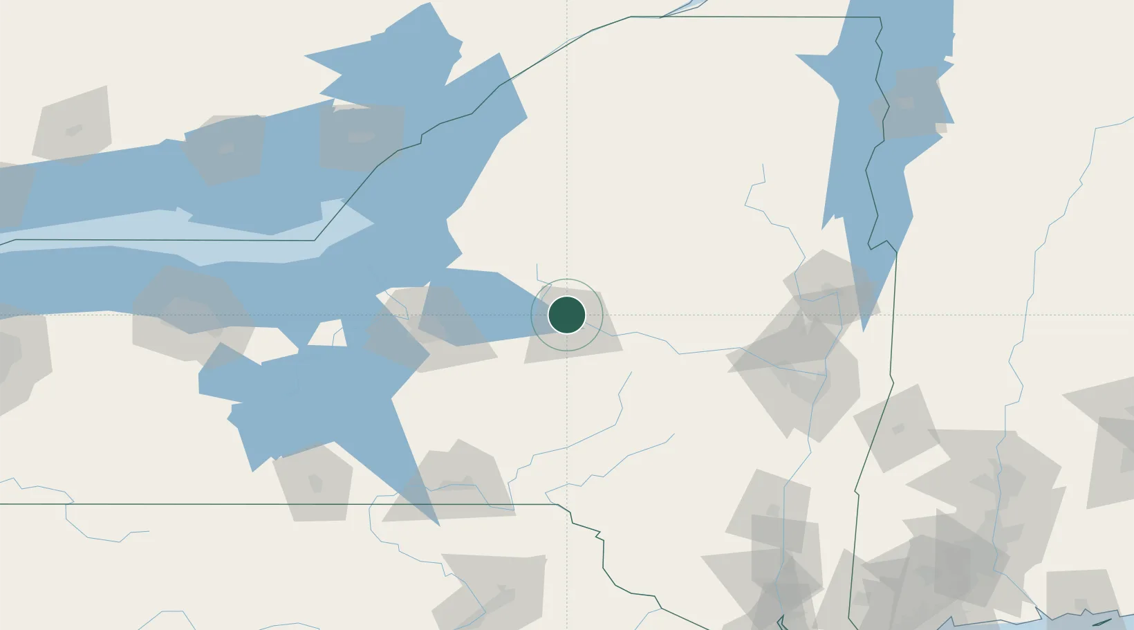
Hub Profile
Place type
Populated place
Region
New York
Time zone
America/New_York
Elevation
184 m
Location
Nearby Logistics Neighbours
Cities
- 1Stittville6 km
- 2New York Mills7 km
- 3Yorkville8 km
- 4New Hartford11 km
- 5Riverdale11 km
Ports
- 1Oswego105 km
- 2Clayton134 km
- 3Albany138 km
- 4Rensselaer138 km
- 5Troy138 km
Airports
Trade Zones
- 1FTZ No. 172 Oneida County62 km
- 2FTZ No. 109 Watertown104 km
- 3FTZ No. 090 Onondaga107 km
- 4FTZ No. 121 Albany130 km
- 5FTZ No. 118 Ogdensburg173 km
DatabookThe Record of Consolidated Knowledge
United States beyond logistics?