Channel & Berth Profile
Pilotage, Tugs & Services
Pilotage compulsoryNO
Pilotage availableNO
Tug assistanceNO
Salvage tugsNO
Potable waterYES
Diesel bunkersYES
MedicalNO
Facilities & Capabilities
Container—
Ro-Ro—
Liquid bulk—
Dry bulk—
Oil terminal—
Break bulk—
Dry dock—
RepairsNO
BunkeringYES
Rail link—
Dangerous cargo—
ISPS security—
Harbour Specifications
Harbour size
Very Small
Harbour type
River (Natural)
Shelter
Excellent
Water body
Lake Ontario; Great Lakes
Overhead limit
No
Pilotage
No
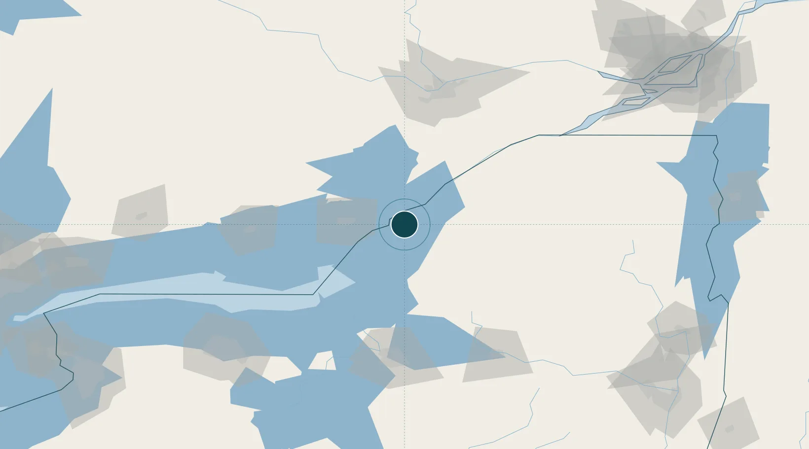
Location
Nearby Logistics Neighbours
Ports
- 1Gananoque15 km
- 2Alexandria Bay15 km
- 3Rockport19 km
- 4Wolfe Island31 km
- 5Kingston36 km
Cities
- 1Theresa21 km
- 2Dexter26 km
- 3Philadelphia28 km
- 4Rockport39 km
- 5Carthage44 km
Airports
Trade Zones
- 1FTZ No. 109 Watertown30 km
- 2FTZ No. 118 Ogdensburg68 km
- 3FTZ No. 090 Onondaga96 km
- 4FTZ No. 172 Oneida County111 km
- 5FTZ No. 141 Monroe County186 km
DatabookThe Record of Consolidated Knowledge
United States beyond logistics?