Large airport · United States
Syracuse Hancock International AirportKSYR
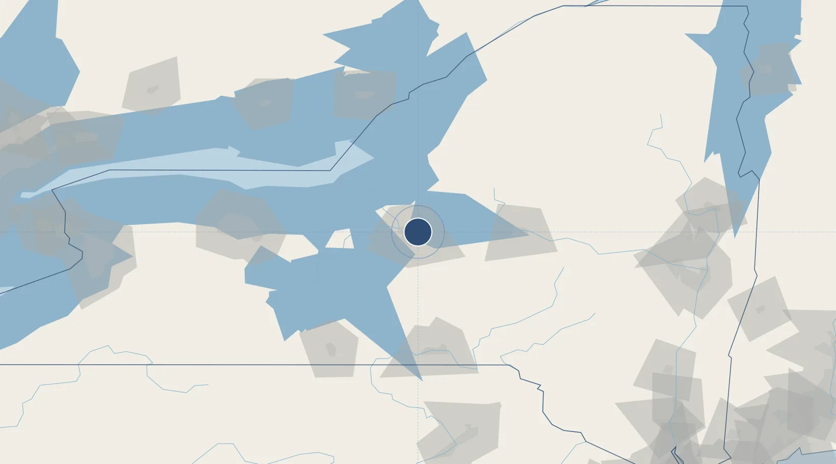
43.1112°, -76.1063°
9,013 ft
Longest runway
2
Runways
421 ft
Elevation
Runway & Layout

Radio Frequencies
ATIS
132.05 MHz
TWR
120.3 MHz
GND
121.7 MHz
CLD
125.05 MHz
CLNC DEL
A/D
126.125 MHz
APP/DEP
OPS
139.625 MHz
ANG OPS
UNIC
122.95 MHz
UNICOM
Navaids
SY NDB Kirki 242 kHz
SYR VORTAC Syracuse 117.00 MHz
Runways · 2
| Runway | Dimensions | Surface | True heading | Lit |
|---|---|---|---|---|
| 10/28 | 9,013 × 150ft | Asphalt | 087° | ✓ |
| 15/33 | 7,499 × 150ft | Asphalt | 134° | ✓ |
Airport Specifications
IATA code
SYR
ICAO code
KSYR
Airport class
Large airport
Scheduled service
Yes
Runway surface
Asphalt
Served city
Syracuse
Location
Nearby Logistics Neighbours
Airports
Cities
- 1Syracuse7 km
- 2Solvay10 km
- 3Bridgeport12 km
- 4Manlius17 km
- 5Camillus18 km
Ports
- 1Oswego52 km
- 2Sodus Bay73 km
- 3Rochester122 km
- 4Wolfe Island124 km
- 5Clayton125 km
Trade Zones
- 1FTZ No. 172 Oneida County15 km
- 2FTZ No. 090 Onondaga52 km
- 3FTZ No. 109 Watertown99 km
- 4FTZ No. 289 Ontario County124 km
- 5FTZ No. 141 Monroe County152 km
DatabookThe Record of Consolidated Knowledge
United States beyond logistics?