Transport Functions
Rail
Road
Hub Profile
Place type
Populated place
Region
New York
Time zone
America/New_York
Elevation
164 m
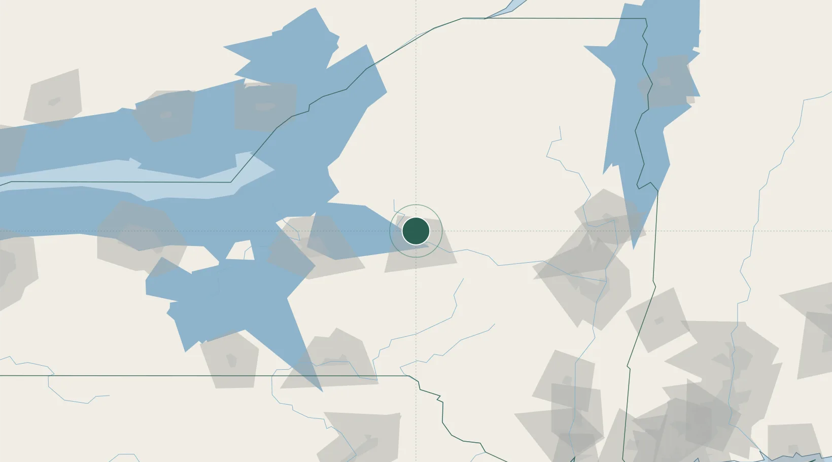
Location
Nearby Logistics Neighbours
Cities
- 1Marcy6 km
- 2Riverdale11 km
- 3New York Mills13 km
- 4Yorkville13 km
- 5New Hartford17 km
Ports
- 1Oswego104 km
- 2Clayton129 km
- 3Alexandria Bay134 km
- 4Sodus Bay138 km
- 5Troy140 km
Airports
Trade Zones
- 1FTZ No. 172 Oneida County61 km
- 2FTZ No. 109 Watertown99 km
- 3FTZ No. 090 Onondaga106 km
- 4FTZ No. 121 Albany132 km
- 5FTZ No. 118 Ogdensburg167 km
DatabookThe Record of Consolidated Knowledge
United States beyond logistics?