Transport Functions
Port
Multimodal
Hub Profile
Place type
Populated place
Region
New York
Time zone
America/New_York
Elevation
140 m
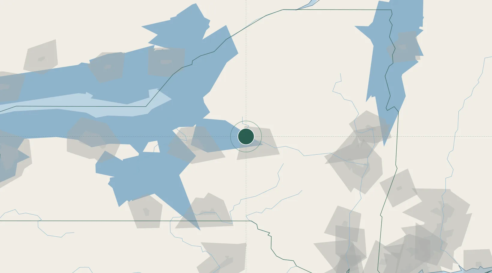
Location
Nearby Logistics Neighbours
Cities
- 1Stittville11 km
- 2Marcy11 km
- 3New York Mills16 km
- 4Yorkville17 km
- 5New Hartford18 km
Ports
- 1Oswego94 km
- 2Clayton126 km
- 3Sodus Bay127 km
- 4Alexandria Bay132 km
- 5Rockport138 km
Airports
Trade Zones
- 1FTZ No. 172 Oneida County51 km
- 2FTZ No. 109 Watertown96 km
- 3FTZ No. 090 Onondaga96 km
- 4FTZ No. 121 Albany141 km
- 5FTZ No. 118 Ogdensburg168 km
DatabookThe Record of Consolidated Knowledge
United States beyond logistics?