UN/LOCODE hub · United States
USQND
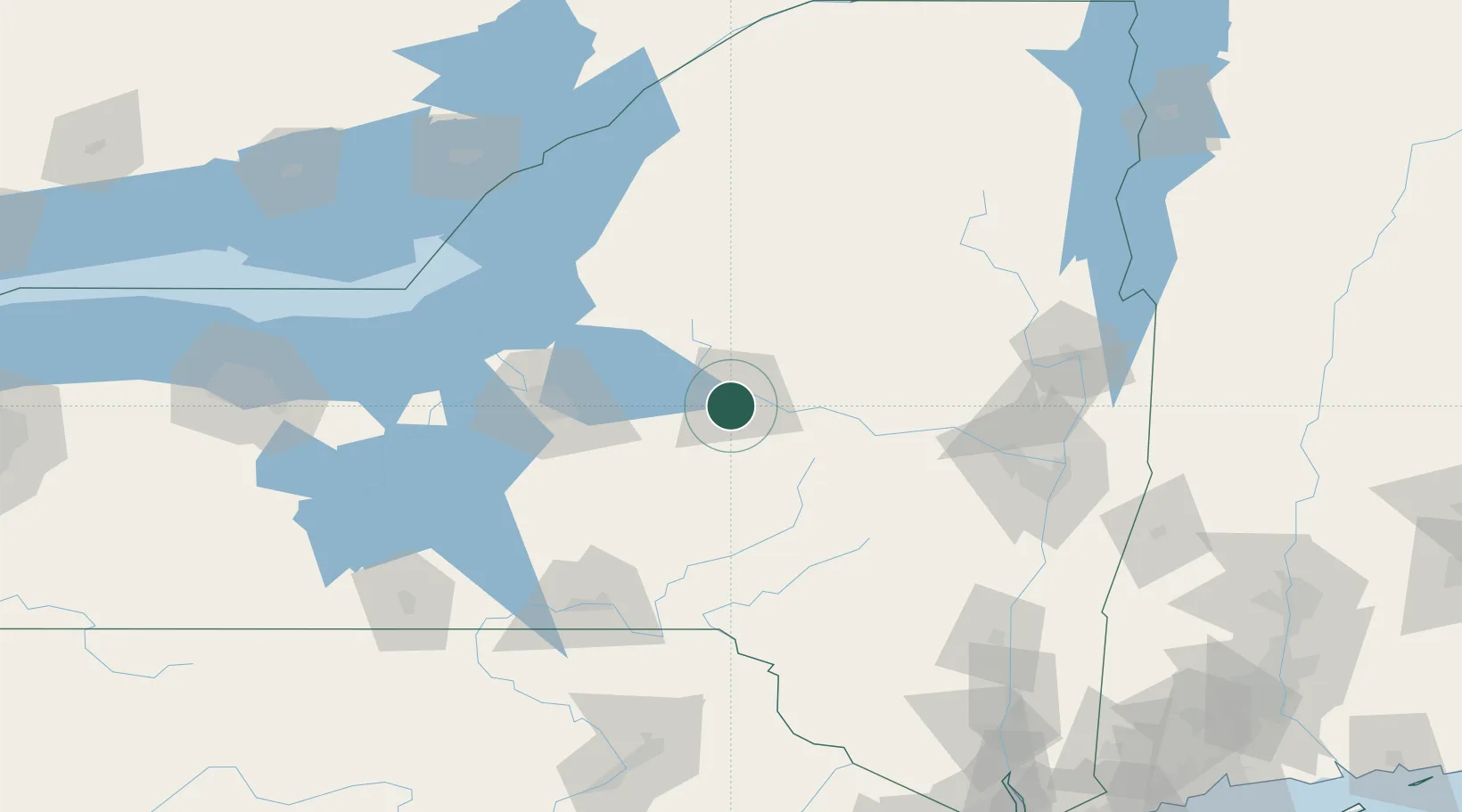
New Hartford
43.0667°, -75.2833°
1,844
Population
3
Transport functions
Transport Functions
Rail
Road
Multimodal
Hub Profile
Place type
Populated place
Region
New York
Population
1,844
Time zone
America/New_York
Elevation
165 m
Location
Nearby Logistics Neighbours
Cities
- 1New York Mills4 km
- 2Yorkville4 km
- 3Marcy11 km
- 4Stittville17 km
- 5Riverdale18 km
Ports
- 1Oswego109 km
- 2Albany133 km
- 3Rensselaer133 km
- 4Troy134 km
- 5Sodus Bay140 km
Airports
Trade Zones
- 1FTZ No. 172 Oneida County64 km
- 2FTZ No. 090 Onondaga111 km
- 3FTZ No. 109 Watertown114 km
- 4FTZ No. 121 Albany126 km
- 5FTZ No. 118 Ogdensburg184 km
DatabookThe Record of Consolidated Knowledge
United States beyond logistics?