Medium airport · United States

Watertown International AirportKART
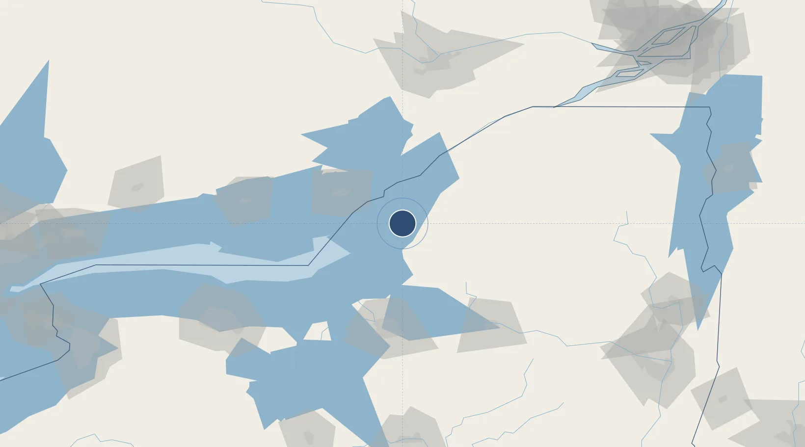
43.9919°, -76.0217°
7,001 ft
Longest runway
2
Runways
325 ft
Elevation

Runway & Layout

Watertown International Airport runway & taxiway layout
Runway & taxiway layout — OpenStreetMap (ODbL) / OurAirports

Radio Frequencies

ASOS
133.525 MHz
A/D
128.25 MHz
WHEELER SACK APP/DEP
RDO
122.2 MHz
BURLINGTON RDO
UNIC
123 MHz
CTAF/UNICOM
OurAirports

Runways · 2

RunwayDimensions SurfaceTrue headingLit
10/28 7,001 × 150ft Asphalt 093°
07/25 4,999 × 150ft Asphalt 053°
OurAirports

Airport Specifications

IATA code
ART
OurAirports
ICAO code
KART
OurAirports
Airport class
Medium airport
OurAirports
Scheduled service
Yes
OurAirports
Runway surface
Asphalt
OurAirports
Served city
Watertown
OurAirports

Location

Location of KART
Natural Earth 10m (public domain) · New York · KART · 43.99, -76.02GoogleOSMYandex

Nearby Logistics Neighbours

Airports
  1. 1Wheeler Sack Army Air Field25 km
  2. 2Kingston Norman Rogers Airport53 km
  3. 3Ogdensburg International Airport89 km
  4. 4Griffiss International Airport98 km
  5. 5Syracuse Hancock International Airport98 km
Nearest neighbours — logibook spatial index (haversine) over the source coordinates
Cities
  1. 1Dexter1 km
  2. 2Philadelphia30 km
  3. 3Mannsville31 km
  4. 4Theresa31 km
  5. 5Carthage32 km
Nearest neighbours — logibook spatial index (haversine) over the source coordinates
Ports
  1. 1Clayton27 km
  2. 2Alexandria Bay39 km
  3. 3Gananoque40 km
  4. 4Wolfe Island40 km
  5. 5Rockport44 km
Nearest neighbours — logibook spatial index (haversine) over the source coordinates
Trade Zones
  1. 1FTZ No. 109 Watertown10 km
  2. 2FTZ No. 090 Onondaga74 km
  3. 3FTZ No. 172 Oneida County84 km
  4. 4FTZ No. 118 Ogdensburg90 km
  5. 5FTZ No. 141 Monroe County175 km
Nearest neighbours — logibook spatial index (haversine) over the source coordinates
DatabookThe Record of Consolidated Knowledge
United States beyond logistics?
Browse databook

All Sources

AirportsOurAirports
Public domain
Portsthe NGA World Port Index
Public domain (US gov)
LocationsUN/LOCODE
UN/LOCODE — free
Trade Zonesthe World Bank SEZ database
CC BY 4.0
Trade ZonesOpen Zone Map
CC BY
InfrastructureOpenStreetMap
ODbL 1.0
← United States airports