Channel & Berth Profile
Pilotage, Tugs & Services
Pilotage compulsoryYES
Shore powerYES
Potable waterYES
Diesel bunkersYES
MedicalYES
Facilities & Capabilities
Container—
Ro-Ro—
Liquid bulk—
Dry bulk—
Oil terminal—
Break bulk—
Dry dock—
RepairsNO
BunkeringYES
Rail linkYES
Dangerous cargo—
ISPS security—
Harbour Specifications
Harbour size
Small
Harbour type
River (Natural)
Shelter
Excellent
Water body
Lake Ontario; Great Lakes
Overhead limit
No
Pilotage
Yes
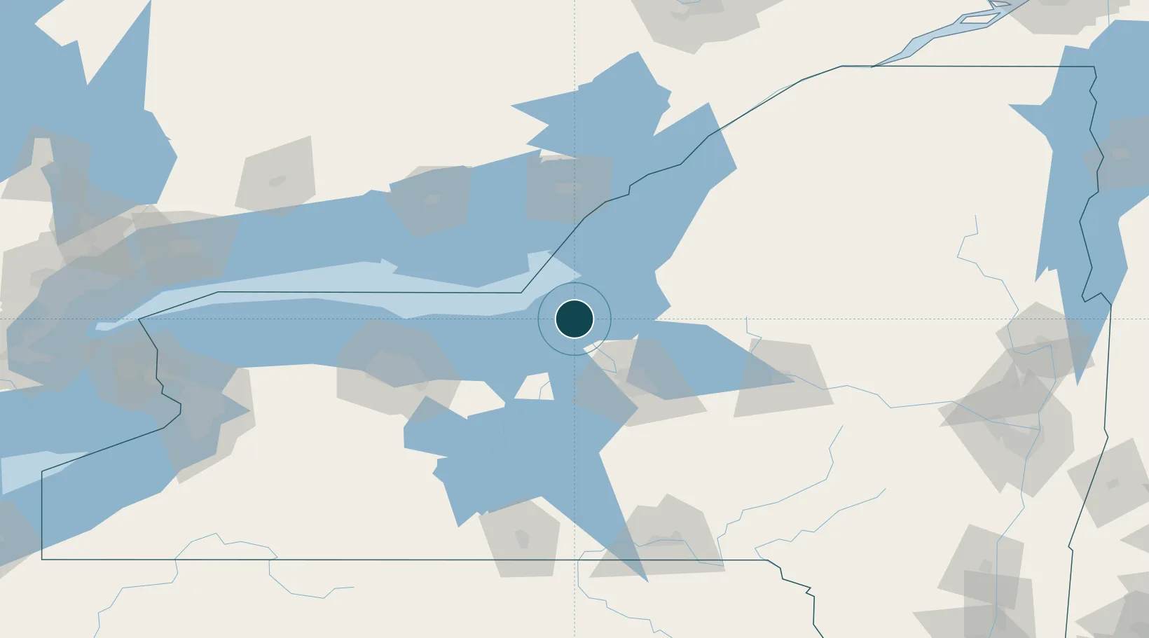
Location
Nearby Logistics Neighbours
Ports
- 1Sodus Bay44 km
- 2Picton79 km
- 3Wolfe Island82 km
- 4Millhaven83 km
- 5Kingston85 km
Cities
- 1Parish32 km
- 2Cato34 km
- 3Plainville36 km
- 4Wolcott37 km
- 5Baldwinsville38 km
Airports
Trade Zones
- 1FTZ No. 090 Onondaga3 km
- 2FTZ No. 172 Oneida County46 km
- 3FTZ No. 109 Watertown76 km
- 4FTZ No. 289 Ontario County112 km
- 5FTZ No. 141 Monroe County119 km
DatabookThe Record of Consolidated Knowledge
United States beyond logistics?