Transport Functions
Road
Multimodal
Hub Profile
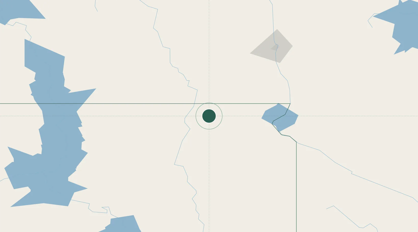
Place type
Populated place
Region
South Dakota
Time zone
America/Chicago
Elevation
399 m
Location
Nearby Logistics Neighbours
Ports
- 1Duluth462 km
- 2Superior463 km
- 3Two Harbors501 km
- 4Washburn551 km
- 5Ashland551 km
Airports
- 1Aberdeen Regional Airport50 km
- 2Watertown Regional Airport109 km
- 3Jamestown Regional Airport145 km
- 4Huron Regional Airport152 km
- 5Hector International Airport157 km
Trade Zones
- 1FTZ No. 267 Fargo144 km
- 2FTZ No. 103 Grand Forks249 km
- 3FTZ No. 220 Sioux Falls258 km
- 4FTZ No. 288 Northwest Iowa321 km
- 5FTZ No. 119 Minneapolis-St. Paul375 km
DatabookThe Record of Consolidated Knowledge
United States beyond logistics?