Transport Functions
Rail
Road
Multimodal
Hub Profile
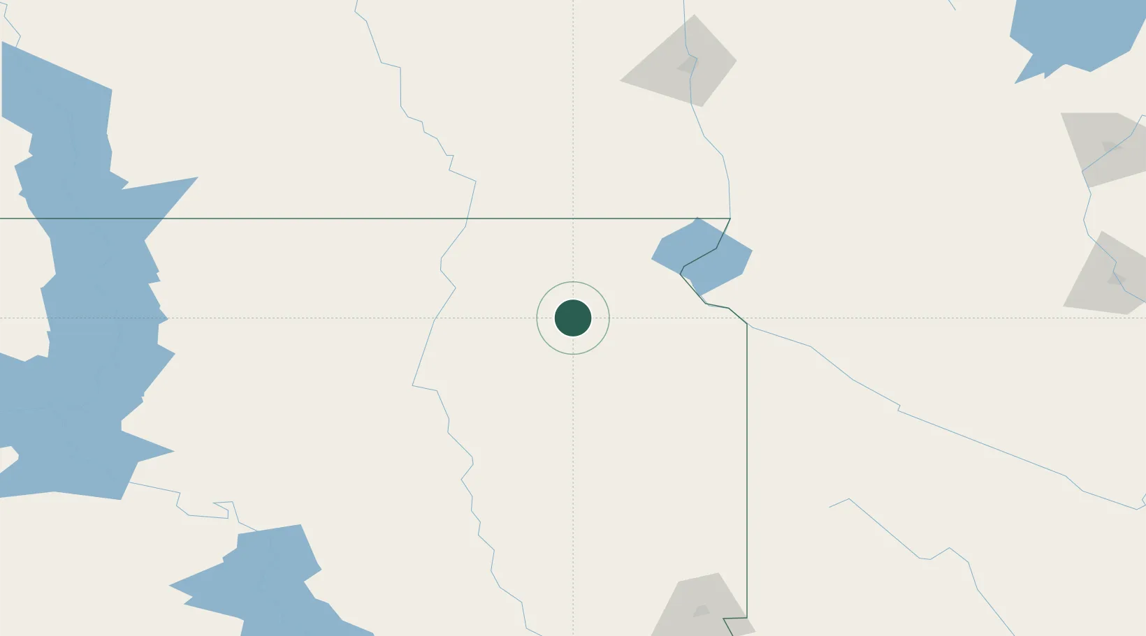
Place type
Provincial seat
Region
South Dakota
Population
1,802
Time zone
America/Chicago
Elevation
566 m
Location
Nearby Logistics Neighbours
Ports
- 1Duluth447 km
- 2Superior449 km
- 3Two Harbors489 km
- 4Ashland533 km
- 5Washburn533 km
Airports
- 1Watertown Regional Airport55 km
- 2Aberdeen Regional Airport72 km
- 3Huron Regional Airport119 km
- 4Chandler Field175 km
- 5Hector International Airport185 km
Trade Zones
- 1FTZ No. 267 Fargo174 km
- 2FTZ No. 220 Sioux Falls206 km
- 3FTZ No. 288 Northwest Iowa267 km
- 4FTZ No. 103 Grand Forks288 km
- 5FTZ No. 119 Minneapolis-St. Paul338 km
DatabookThe Record of Consolidated Knowledge
United States beyond logistics?