Transport Functions
Rail
Road
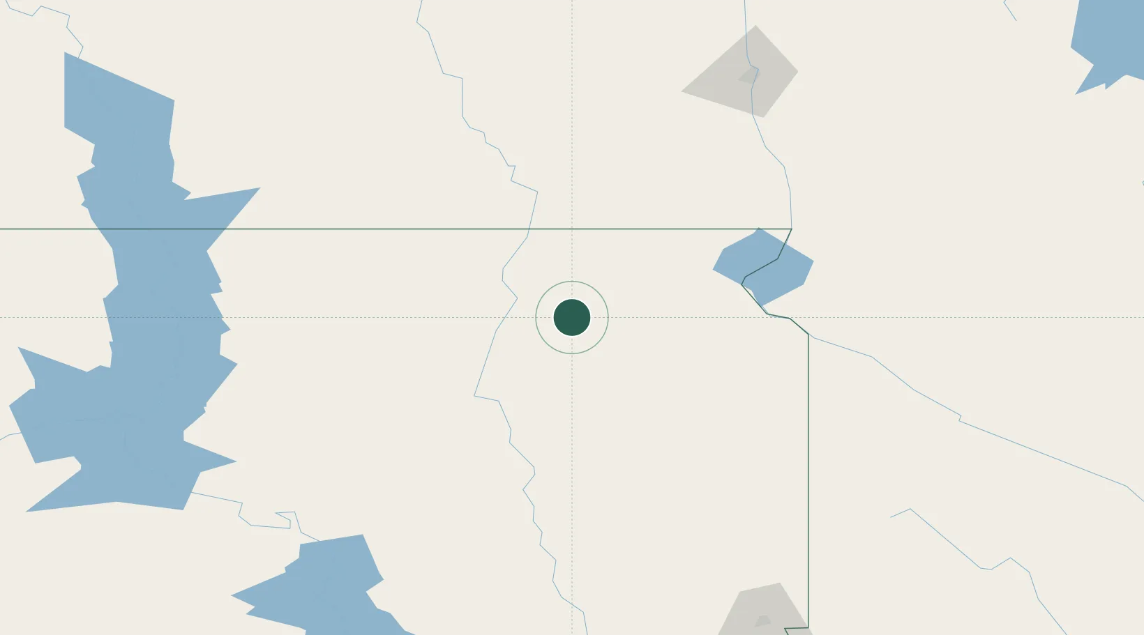
Hub Profile
Place type
Populated place
Region
South Dakota
Population
87
Time zone
America/Chicago
Elevation
451 m
Location
Nearby Logistics Neighbours
Ports
- 1Duluth472 km
- 2Superior474 km
- 3Two Harbors513 km
- 4Ashland559 km
- 5Washburn560 km
Airports
- 1Aberdeen Regional Airport41 km
- 2Watertown Regional Airport80 km
- 3Huron Regional Airport116 km
- 4Jamestown Regional Airport180 km
- 5Hector International Airport189 km
Trade Zones
- 1FTZ No. 267 Fargo177 km
- 2FTZ No. 220 Sioux Falls224 km
- 3FTZ No. 103 Grand Forks285 km
- 4FTZ No. 288 Northwest Iowa288 km
- 5FTZ No. 119 Minneapolis-St. Paul369 km
DatabookThe Record of Consolidated Knowledge
United States beyond logistics?