Transport Functions
Rail
Road
Airport
Hub Profile
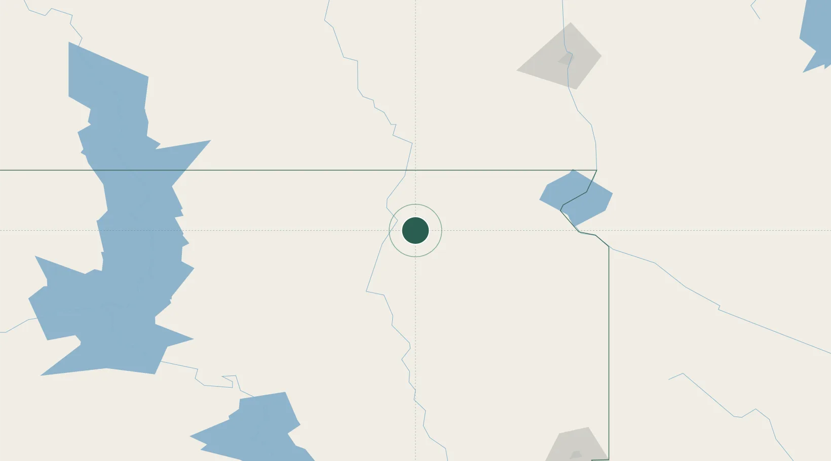
Place type
Populated place
Region
South Dakota
Population
1,508
Time zone
America/Chicago
Elevation
397 m
Location
Nearby Logistics Neighbours
Ports
- 1Duluth484 km
- 2Superior486 km
- 3Two Harbors525 km
- 4Ashland572 km
- 5Washburn572 km
Airports
- 1Aberdeen Regional Airport27 km
- 2Watertown Regional Airport93 km
- 3Huron Regional Airport117 km
- 4Jamestown Regional Airport173 km
- 5Mobridge Municipal Airport182 km
Trade Zones
- 1FTZ No. 267 Fargo180 km
- 2FTZ No. 220 Sioux Falls233 km
- 3FTZ No. 103 Grand Forks285 km
- 4FTZ No. 288 Northwest Iowa299 km
- 5FTZ No. 119 Minneapolis-St. Paul383 km
DatabookThe Record of Consolidated Knowledge
United States beyond logistics?