Transport Functions
Rail
Road
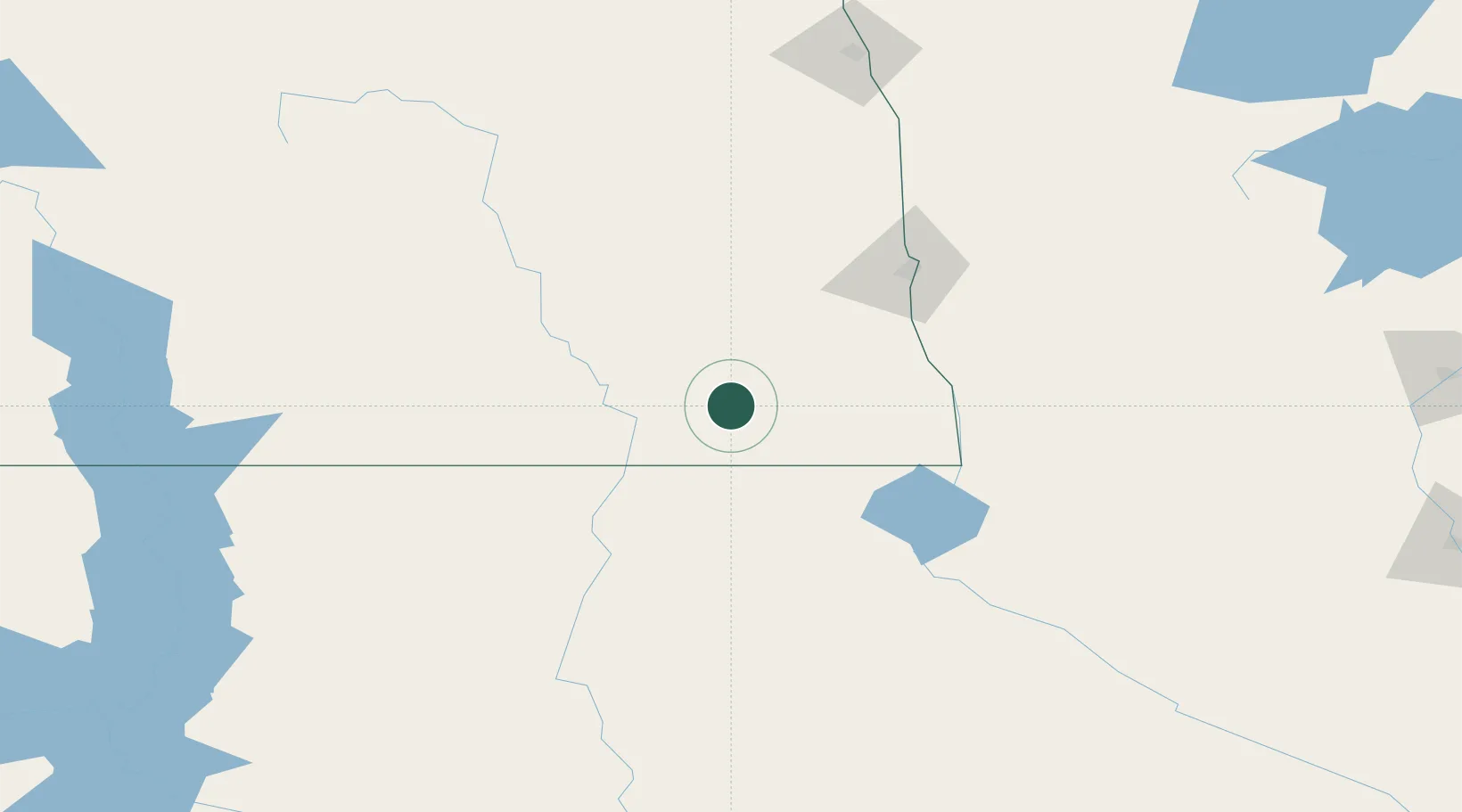
Hub Profile
Place type
Populated place
Region
North Dakota
Population
834
Time zone
America/Chicago
Elevation
386 m
Logistics facilities
1
Location
Nearby Logistics Neighbours
Cities
- 1Lisbon, Ransom23 km
- 2Amherst58 km
- 3Sisseton78 km
- 4Brushvale79 km
- 5Rosholt83 km
Ports
- 1Duluth430 km
- 2Superior432 km
- 3Two Harbors467 km
- 4Washburn521 km
- 5Ashland522 km
Airports
- 1Hector International Airport101 km
- 2Aberdeen Regional Airport105 km
- 3Jamestown Regional Airport110 km
- 4Watertown Regional Airport151 km
- 5Chandler Field179 km
Trade Zones
- 1FTZ No. 267 Fargo87 km
- 2FTZ No. 103 Grand Forks191 km
- 3FTZ No. 220 Sioux Falls305 km
- 4FTZ No. 259 Koochiching County340 km
- 5FTZ No. 288 Northwest Iowa363 km
DatabookThe Record of Consolidated Knowledge
United States beyond logistics?