UN/LOCODE hub · United States
USSS2
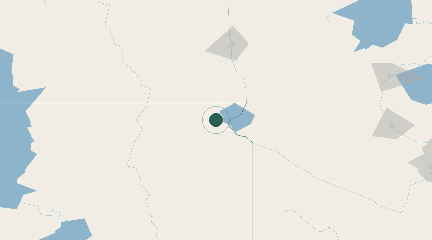
Sisseton
45.6667°, -97.0500°
2,450
Population
2
Transport functions
Transport Functions
Rail
Road
Hub Profile
Place type
Provincial seat
Region
South Dakota
Population
2,450
Time zone
America/Chicago
Elevation
373 m
Location
Nearby Logistics Neighbours
Cities
- 1Rosholt34 km
- 2Webster52 km
- 3Clinton53 km
- 4Big Stone City63 km
- 5Amherst68 km
Ports
- 1Duluth400 km
- 2Superior401 km
- 3Two Harbors441 km
- 4Ashland488 km
- 5Washburn488 km
Airports
- 1Watertown Regional Airport84 km
- 2Aberdeen Regional Airport110 km
- 3Chandler Field130 km
- 4Hector International Airport141 km
- 5Huron Regional Airport170 km
Trade Zones
- 1FTZ No. 267 Fargo132 km
- 2FTZ No. 220 Sioux Falls236 km
- 3FTZ No. 103 Grand Forks250 km
- 4FTZ No. 288 Northwest Iowa289 km
- 5FTZ No. 119 Minneapolis-St. Paul308 km
DatabookThe Record of Consolidated Knowledge
United States beyond logistics?