Medium airport · United States
Aberdeen Regional AirportKABR
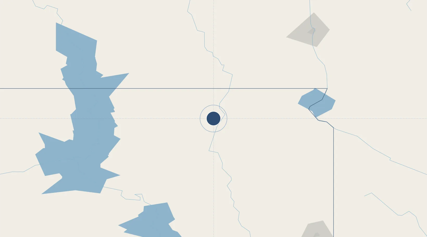
45.4491°, -98.4218°
6,901 ft
Longest runway
2
Runways
1,302 ft
Elevation
Runway & Layout

Radio Frequencies
ASOS
125.875 MHz
CTAF
122.7 MHz
CNTR
120.6 MHz
MINNEAPOLIS CNTR
RDO
122.4 MHz
HURON RDO
UNIC
122.95 MHz
UNICOM
Navaids
AB NDB Reney 203 kHz
Runways · 2
| Runway | Dimensions | Surface | True heading | Lit |
|---|---|---|---|---|
| 13/31 | 6,901 × 100ft | Concrete | 135° | ✓ |
| 17/35 | 5,500 × 100ft | Asphalt | 180° | ✓ |
Airport Specifications
IATA code
ABR
ICAO code
KABR
Airport class
Medium airport
Scheduled service
Yes
Runway surface
Concrete
Served city
Aberdeen
Location
Nearby Logistics Neighbours
Airports
- 1Watertown Regional Airport116 km
- 2Huron Regional Airport119 km
- 3Mobridge Municipal Airport155 km
- 4Jamestown Regional Airport166 km
- 5Pierre Regional Airport189 km
Ports
- 1Duluth509 km
- 2Superior510 km
- 3Two Harbors549 km
- 4Ashland597 km
- 5Washburn597 km
Trade Zones
- 1FTZ No. 267 Fargo192 km
- 2FTZ No. 220 Sioux Falls247 km
- 3FTZ No. 103 Grand Forks290 km
- 4FTZ No. 288 Northwest Iowa316 km
- 5FTZ No. 119 Minneapolis-St. Paul410 km
DatabookThe Record of Consolidated Knowledge
United States beyond logistics?