UN/LOCODE hub · United States
USB2V
Buena Vista
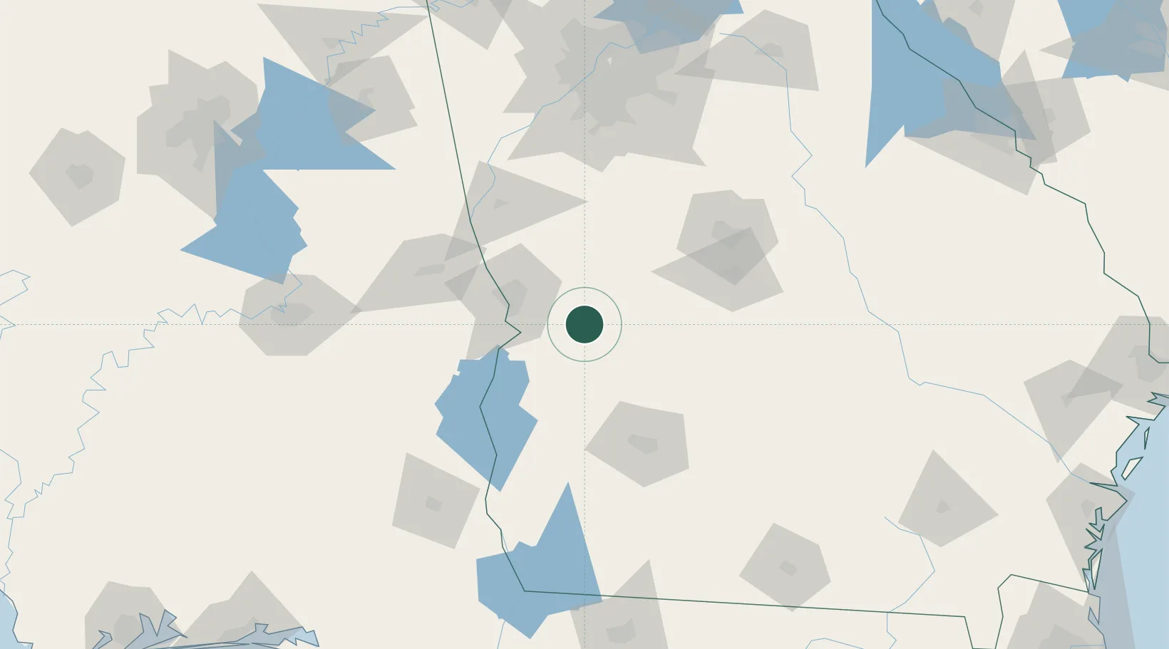
32.3167°, -84.5167°
2,206
Population
2
Transport functions
Transport Functions
Port
Multimodal
Hub Profile
Place type
Provincial seat
Region
Georgia
Population
2,206
Time zone
America/New_York
Elevation
210 m
Location
Nearby Logistics Neighbours
Cities
- 1Ellaville22 km
- 2Concord25 km
- 3Latonia30 km
- 4Junction City32 km
- 5Butler37 km
Ports
- 1Panama City266 km
- 2Carrabelle275 km
- 3Port St Joe288 km
- 4Apalachicola293 km
- 5Darien310 km
Airports
Trade Zones
- 1FTZ No. 233 Dothan149 km
- 2FTZ No. 026 Atlanta161 km
- 3FTZ No. 222 Montgomery169 km
- 4FTZ No. 098 Birmingham253 km
- 5FTZ No. 065 Panama City262 km
DatabookThe Record of Consolidated Knowledge
United States beyond logistics?