Transport Functions
Multimodal
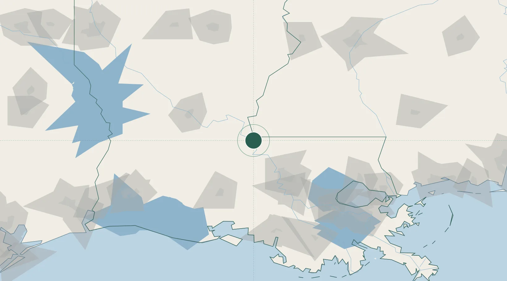
Hub Profile
Place type
Populated place
Region
Louisiana
Time zone
America/Chicago
Elevation
15 m
Location
Nearby Logistics Neighbours
Cities
- 1Palmetto, Saint Landry42 km
- 2Lakeland43 km
- 3Le Moyen48 km
- 4Slaughter49 km
- 5Krotz Springs50 km
Ports
- 1Baton Rouge67 km
- 2Convent125 km
- 3St. James129 km
- 4Reserve140 km
- 5Morgan City143 km
Airports
Trade Zones
DatabookThe Record of Consolidated Knowledge
United States beyond logistics?