UN/LOCODE hub · United States
USPFM

Palmetto, Saint Landry

30.7167°, -91.9167°
2
Transport functions

Transport Functions

Rail
Road
UN/LOCODE

Hub Profile

Region
LA
GeoNames

Location

Location of USPFM
Natural Earth 10m (public domain) · LA · USPFM · 30.72, -91.92GoogleOSMYandex

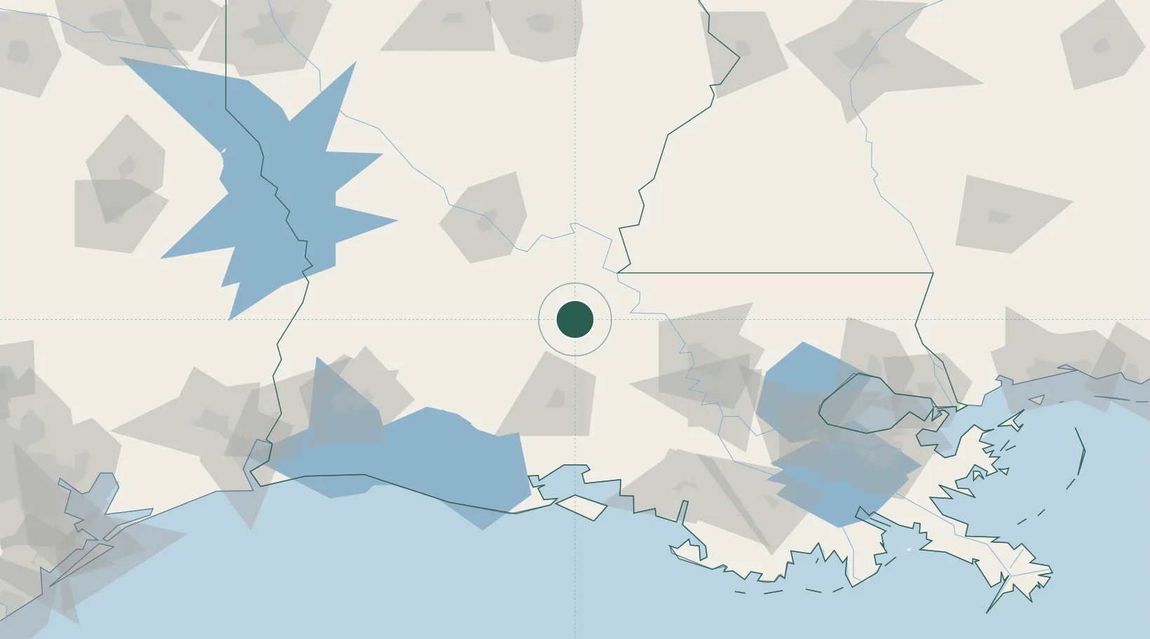
Nearby Logistics Neighbours

Cities
  1. 1Le Moyen13 km
  2. 2Krotz Springs26 km
  3. 3Grand Coteau35 km
  4. 4Arnaudville35 km
  5. 5Ville Platte35 km
Nearest neighbours — logibook spatial index (haversine) over the source coordinates
Ports
  1. 1Baton Rouge76 km
  2. 2Convent130 km
  3. 3Morgan City132 km
  4. 4St. James133 km
  5. 5Lake Charles139 km
Nearest neighbours — logibook spatial index (haversine) over the source coordinates
Airports
  1. 1Lafayette Regional Airport57 km
  2. 2Acadiana Regional Airport76 km
  3. 3Baton Rouge Metropolitan Airport76 km
  4. 4Esler Army Airfield / Esler Regional Airport84 km
  5. 5Alexandria International Airport91 km
Nearest neighbours — logibook spatial index (haversine) over the source coordinates
Trade Zones
  1. 1FTZ No. 154 Baton Rouge71 km
  2. 2FTZ No. 155 Calhoun Victoria Counties71 km
  3. 3FTZ No. 124 Gramercy137 km
  4. 4FTZ No. 087 Lake Charles150 km
  5. 5FTZ No. 279 Terrebonne Parish166 km
Nearest neighbours — logibook spatial index (haversine) over the source coordinates
DatabookThe Record of Consolidated Knowledge
United States beyond logistics?
Browse databook

All Sources

LocationsUN/LOCODE
UN/LOCODE — free
Portsthe NGA World Port Index
Public domain (US gov)
AirportsOurAirports
Public domain
Trade Zonesthe World Bank SEZ database
CC BY 4.0
Trade ZonesOpen Zone Map
CC BY
← United States locations