Transport Functions
Multimodal
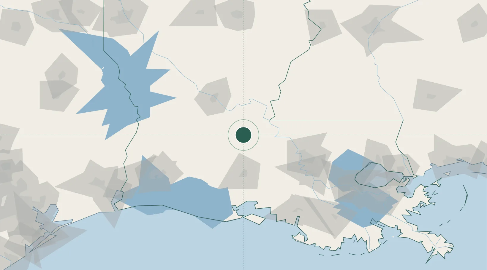
Hub Profile
Place type
Populated place
Region
Louisiana
Time zone
America/Chicago
Elevation
12 m
Location
Nearby Logistics Neighbours
Cities
- 1Palmetto, Saint Landry13 km
- 2Bunkie23 km
- 3Ville Platte26 km
- 4Hessmer31 km
- 5Marksville37 km
Ports
- 1Baton Rouge89 km
- 2Lake Charles133 km
- 3Convent143 km
- 4Morgan City144 km
- 5St. James146 km
Airports
Trade Zones
DatabookThe Record of Consolidated Knowledge
United States beyond logistics?