Medium airport · United States

Alexandria International AirportKAEX
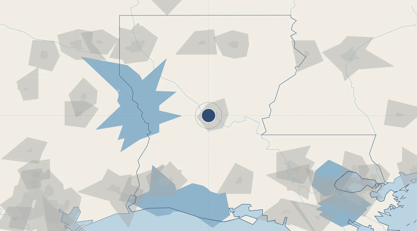
31.3258°, -92.5467°
9,352 ft
Longest runway
1
Runways
89 ft
Elevation

Runway & Layout

Alexandria International Airport runway & taxiway layout
Runway & taxiway layout — OpenStreetMap (ODbL) / OurAirports

Radio Frequencies

ASOS
123.975 MHz
TWR
127.35 MHz
GND
121.9 MHz
CLD
121.9 MHz
CLNC DEL
CTAF
127.35 MHz
A/D
132.05 MHz
POLK APP/DEP
OurAirports

Runways · 1

RunwayDimensions SurfaceTrue headingLit
14/32 9,352 × 150ft Concrete 144°
OurAirports

Airport Specifications

IATA code
AEX
OurAirports
ICAO code
KAEX
OurAirports
Airport class
Medium airport
OurAirports
Scheduled service
Yes
OurAirports
Runway surface
Concrete
OurAirports
Served city
Alexandria
OurAirports

Location

Location of KAEX
Natural Earth 10m (public domain) · Louisiana · KAEX · 31.33, -92.55GoogleOSMYandex

Nearby Logistics Neighbours

Airports
  1. 1Esler Army Airfield / Esler Regional Airport25 km
  2. 2Polk Army Air Field69 km
  3. 3Beauregard Regional Airport93 km
  4. 4Lafayette Regional Airport136 km
  5. 5Monroe Regional Airport140 km
Nearest neighbours — logibook spatial index (haversine) over the source coordinates
Cities
  1. 1Boyce13 km
  2. 2Lena26 km
  3. 3Hessmer51 km
  4. 4Marksville53 km
  5. 5Bunkie54 km
Nearest neighbours — logibook spatial index (haversine) over the source coordinates
Ports
  1. 1Lake Charles140 km
  2. 2Baton Rouge163 km
  3. 3Orange179 km
  4. 4Port Neches199 km
  5. 5Beaumont202 km
Nearest neighbours — logibook spatial index (haversine) over the source coordinates
Trade Zones
  1. 1FTZ No. 087 Lake Charles148 km
  2. 2FTZ No. 154 Baton Rouge158 km
  3. 3FTZ No. 155 Calhoun Victoria Counties158 km
  4. 4FTZ No. 145 Shreveport183 km
  5. 5FTZ No. 146 Lawrence County183 km
Nearest neighbours — logibook spatial index (haversine) over the source coordinates
DatabookThe Record of Consolidated Knowledge
United States beyond logistics?
Browse databook

All Sources

AirportsOurAirports
Public domain
Portsthe NGA World Port Index
Public domain (US gov)
LocationsUN/LOCODE
UN/LOCODE — free
Trade Zonesthe World Bank SEZ database
CC BY 4.0
Trade ZonesOpen Zone Map
CC BY
InfrastructureOpenStreetMap
ODbL 1.0
← United States airports