Transport Functions
Multimodal
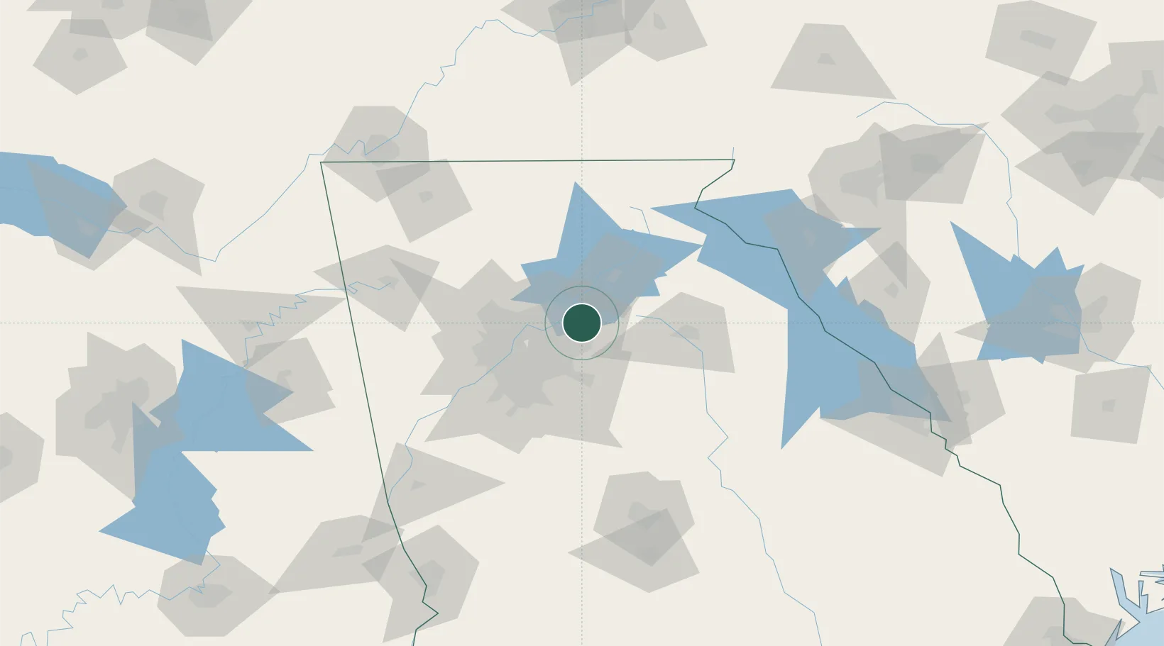
Hub Profile
Place type
Populated place
Region
Alabama
Time zone
America/Chicago
Elevation
168 m
Location
Nearby Logistics Neighbours
Cities
- 1Gwinnett10 km
- 2Johns Creek14 km
- 3Grayson17 km
- 4Lexington17 km
- 5Loganville24 km
Ports
- 1Savannah349 km
- 2Beaufort359 km
- 3Port Royal362 km
- 4Darien382 km
- 5Brunswick397 km
Airports
Trade Zones
- 1FTZ No. 026 Atlanta44 km
- 2FTZ No. 134 Chattanooga172 km
- 3FTZ No. 038 Spartanburg County190 km
- 4FTZ No. 148 Knoxville220 km
- 5FTZ No. 083 Huntsville261 km
DatabookThe Record of Consolidated Knowledge
United States beyond logistics?