Transport Functions
Multimodal
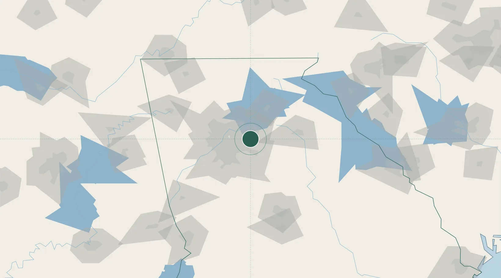
Hub Profile
Place type
Provincial seat
Region
Georgia
Population
227
Time zone
America/New_York
Elevation
214 m
Location
Nearby Logistics Neighbours
Cities
- 1Gwinnett10 km
- 2Grayson11 km
- 3Loganville16 km
- 4Redan16 km
- 5Alabama City17 km
Ports
- 1Savannah342 km
- 2Beaufort354 km
- 3Port Royal357 km
- 4Darien372 km
- 5Brunswick386 km
Airports
Trade Zones
- 1FTZ No. 026 Atlanta32 km
- 2FTZ No. 134 Chattanooga182 km
- 3FTZ No. 038 Spartanburg County202 km
- 4FTZ No. 148 Knoxville236 km
- 5FTZ No. 098 Birmingham257 km
DatabookThe Record of Consolidated Knowledge
United States beyond logistics?