Transport Functions
Rail
Road
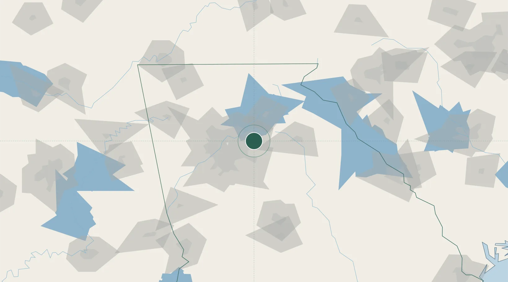
Hub Profile
Region
ID
Location
Nearby Logistics Neighbours
Cities
- 1Grayson7 km
- 2Lexington10 km
- 3Alabama City10 km
- 4Loganville15 km
- 5Johns Creek19 km
Ports
- 1Savannah341 km
- 2Beaufort352 km
- 3Port Royal355 km
- 4Darien373 km
- 5Brunswick388 km
Airports
Trade Zones
- 1FTZ No. 026 Atlanta41 km
- 2FTZ No. 134 Chattanooga181 km
- 3FTZ No. 038 Spartanburg County193 km
- 4FTZ No. 148 Knoxville229 km
- 5FTZ No. 098 Birmingham264 km
DatabookThe Record of Consolidated Knowledge
United States beyond logistics?