Transport Functions
Port
Hub Profile
Place type
Populated place
Region
Georgia
Population
3,147
Time zone
America/New_York
Elevation
334 m
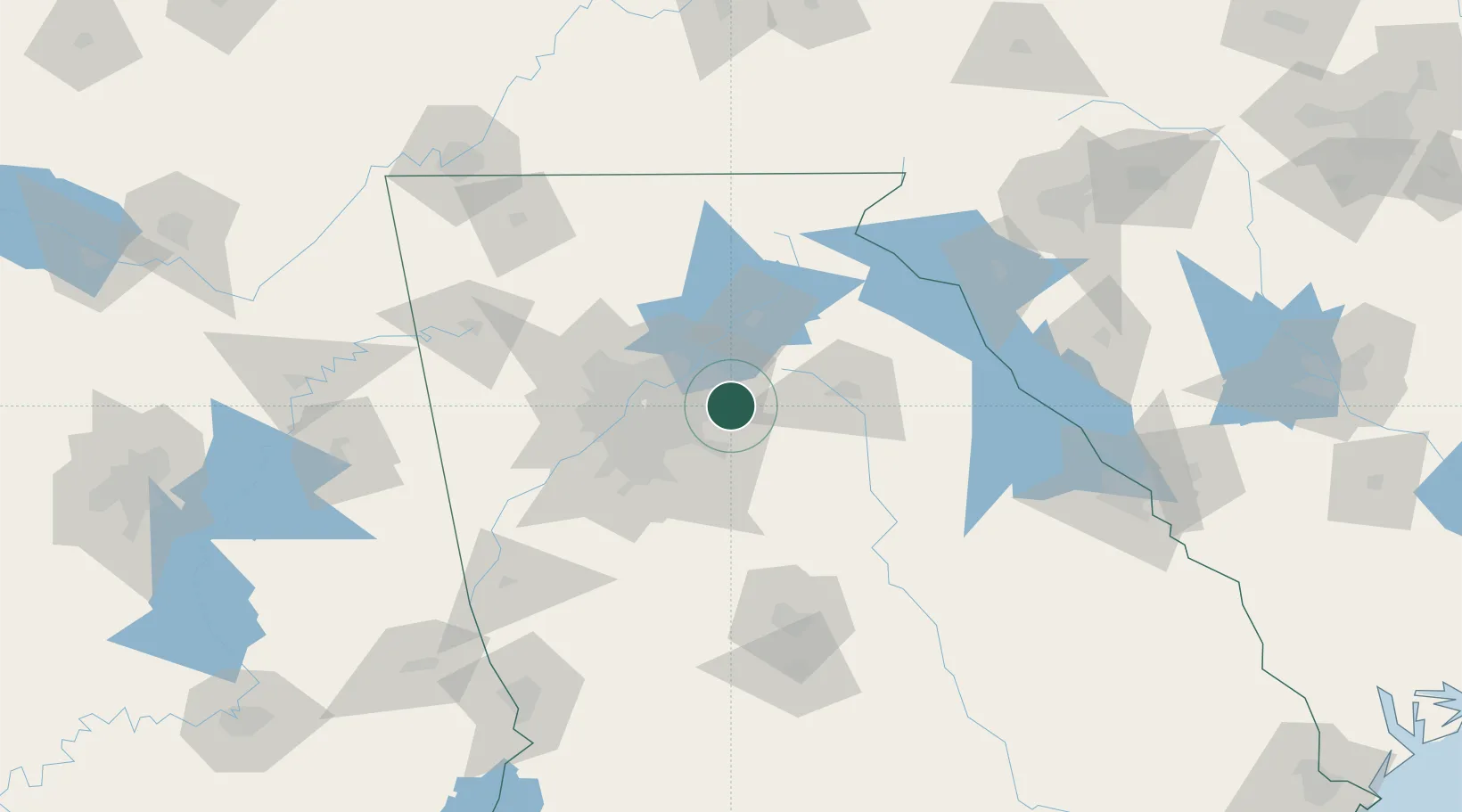
Location
Nearby Logistics Neighbours
Cities
- 1Gwinnett7 km
- 2Loganville7 km
- 3Lexington11 km
- 4Alabama City17 km
- 5Bethlehem22 km
Ports
- 1Savannah334 km
- 2Beaufort346 km
- 3Port Royal348 km
- 4Darien366 km
- 5Brunswick381 km
Airports
Trade Zones
- 1FTZ No. 026 Atlanta43 km
- 2FTZ No. 134 Chattanooga188 km
- 3FTZ No. 038 Spartanburg County192 km
- 4FTZ No. 148 Knoxville235 km
- 5FTZ No. 127 West Columbia261 km
DatabookThe Record of Consolidated Knowledge
United States beyond logistics?