UN/LOCODE hub · United States
USLGE
Loganville
33.8333°, -83.9000°
11,248
Population
2
Transport functions
Transport Functions
Road
Multimodal
Hub Profile
Place type
Populated place
Region
Georgia
Population
11,248
Time zone
America/New_York
Elevation
306 m
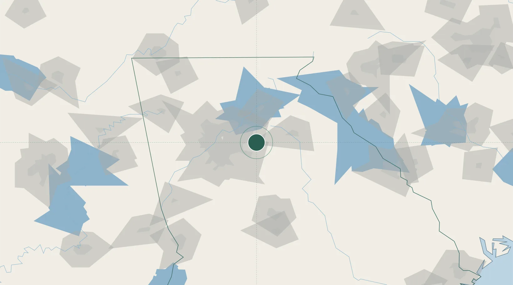
Location
Nearby Logistics Neighbours
Cities
- 1Grayson7 km
- 2Gwinnett15 km
- 3Lexington16 km
- 4Bethlehem20 km
- 5Alabama City24 km
Ports
- 1Savannah327 km
- 2Beaufort339 km
- 3Port Royal341 km
- 4Darien359 km
- 5Brunswick374 km
Airports
Trade Zones
- 1FTZ No. 026 Atlanta46 km
- 2FTZ No. 038 Spartanburg County192 km
- 3FTZ No. 134 Chattanooga195 km
- 4FTZ No. 148 Knoxville242 km
- 5FTZ No. 127 West Columbia256 km
DatabookThe Record of Consolidated Knowledge
United States beyond logistics?