UN/LOCODE hub · United States
USBKQ
Brooksville
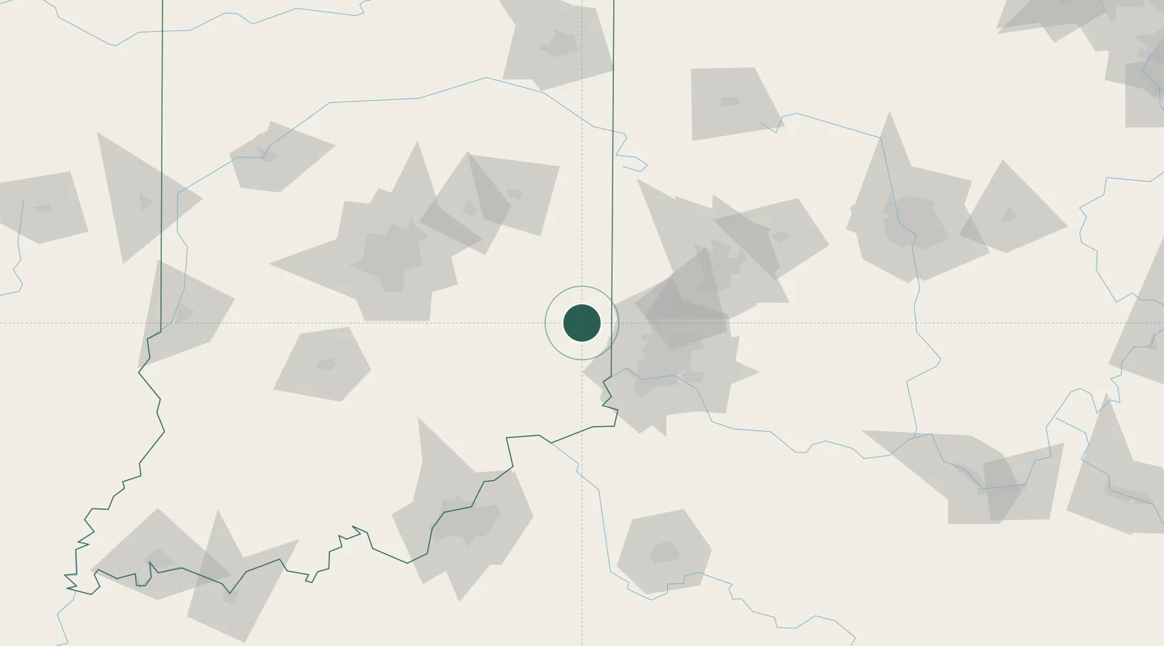
39.4167°, -85.0000°
638
Population
3
Transport functions
Transport Functions
Port
Road
Multimodal
Hub Profile
Place type
Provincial seat
Region
Kentucky
Population
638
Time zone
America/New_York
Elevation
285 m
Location
Nearby Logistics Neighbours
Cities
- 1Okeana21 km
- 2Sunman22 km
- 3West College Corner23 km
- 4West Harrison23 km
- 5Harrison24 km
Ports
- 1Toledo285 km
- 2Port Clinton292 km
- 3Sandusky297 km
- 4Huron303 km
- 5Michigan City304 km
Airports
Trade Zones
- 1FTZ No. 047 Boone County51 km
- 2FTZ No. 046 CIncinnati55 km
- 3FTZ No. 100 Dayton75 km
- 4FTZ No. 054 Clinton County104 km
- 5FTZ No. 072 Indianapolis118 km
DatabookThe Record of Consolidated Knowledge
United States beyond logistics?