Transport Functions
Port
Road
Hub Profile
Place type
Populated place
Region
Georgia
Population
671
Time zone
America/New_York
Elevation
262 m
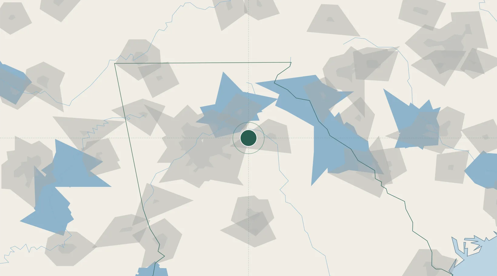
Location
Nearby Logistics Neighbours
Cities
- 1Statham12 km
- 2Bogart17 km
- 3Braselton19 km
- 4Loganville20 km
- 5Grayson22 km
Ports
- 1Savannah320 km
- 2Beaufort329 km
- 3Port Royal332 km
- 4Darien357 km
- 5Brunswick373 km
Airports
Trade Zones
- 1FTZ No. 026 Atlanta65 km
- 2FTZ No. 038 Spartanburg County171 km
- 3FTZ No. 134 Chattanooga200 km
- 4FTZ No. 148 Knoxville233 km
- 5FTZ No. 127 West Columbia239 km
DatabookThe Record of Consolidated Knowledge
United States beyond logistics?