UN/LOCODE hub · United States
USYSS
Soda Springs
42.6500°, -111.6000°
2,944
Population
4
Transport functions
Transport Functions
Port
Rail
Road
Multimodal
Hub Profile
Place type
Provincial seat
Region
Idaho
Population
2,944
Time zone
America/Boise
Elevation
1,760 m
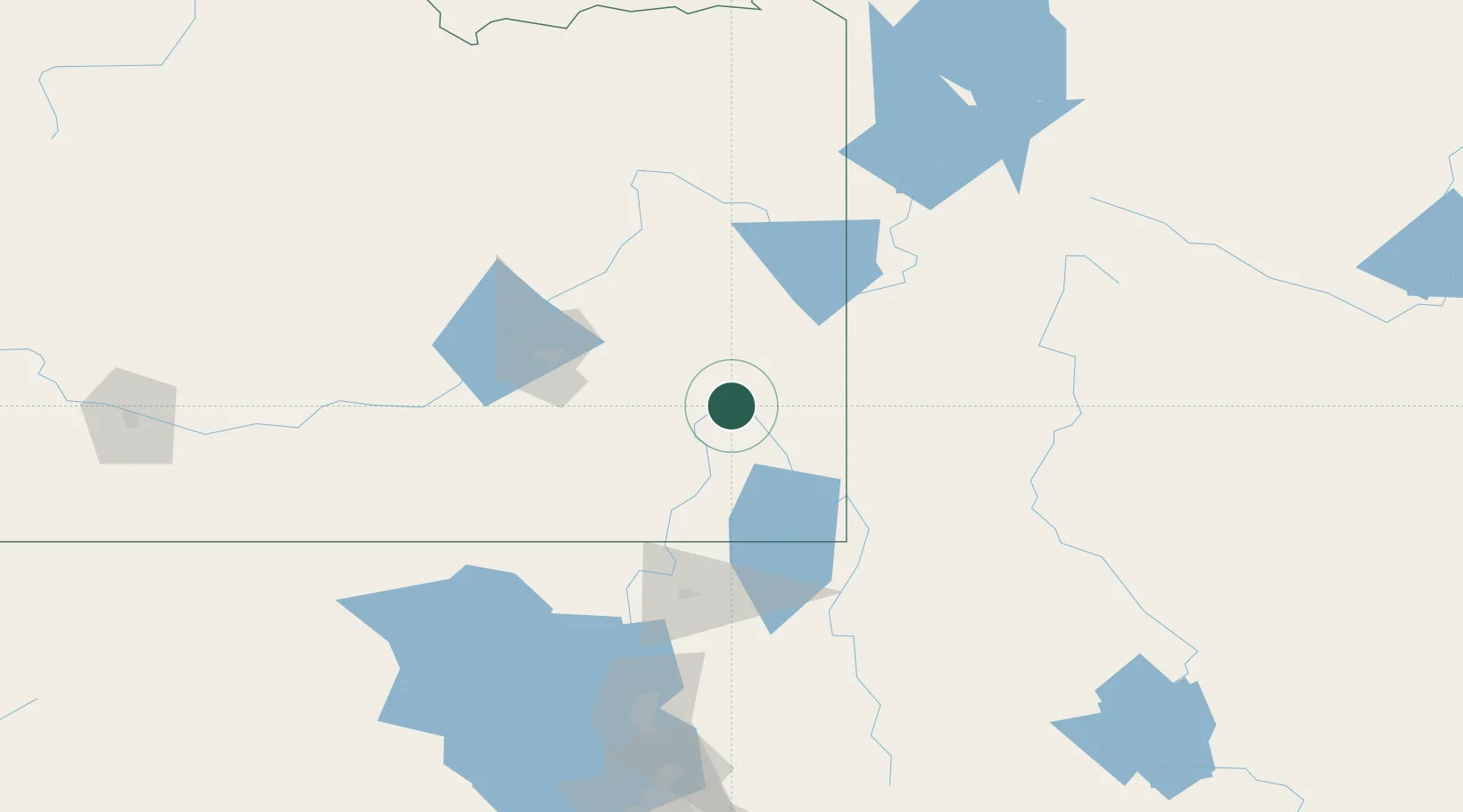
Location
Nearby Logistics Neighbours
Ports
- 1The Dalles832 km
- 2Sacramento949 km
- 3Courtland969 km
- 4Walnut Grove971 km
- 5Stockton974 km
Airports
- 1Pocatello Regional Airport86 km
- 2Logan-Cache Airport98 km
- 3Idaho Falls Regional Airport104 km
- 4Miley Memorial Field122 km
- 5Jackson Hole Airport127 km
Trade Zones
- 1FTZ No. 030 Salt Lake City211 km
- 2FTZ No. 274 Butte-Silver Bow377 km
- 3FTZ No. 275 Lansing381 km
- 4FTZ No. 280 Ada and Canyon Counties454 km
- 5FTZ No. 088 Great Falls540 km
DatabookThe Record of Consolidated Knowledge
United States beyond logistics?