Medium airport · United States

Evanston-Uinta County Airport-Burns FieldKEVW

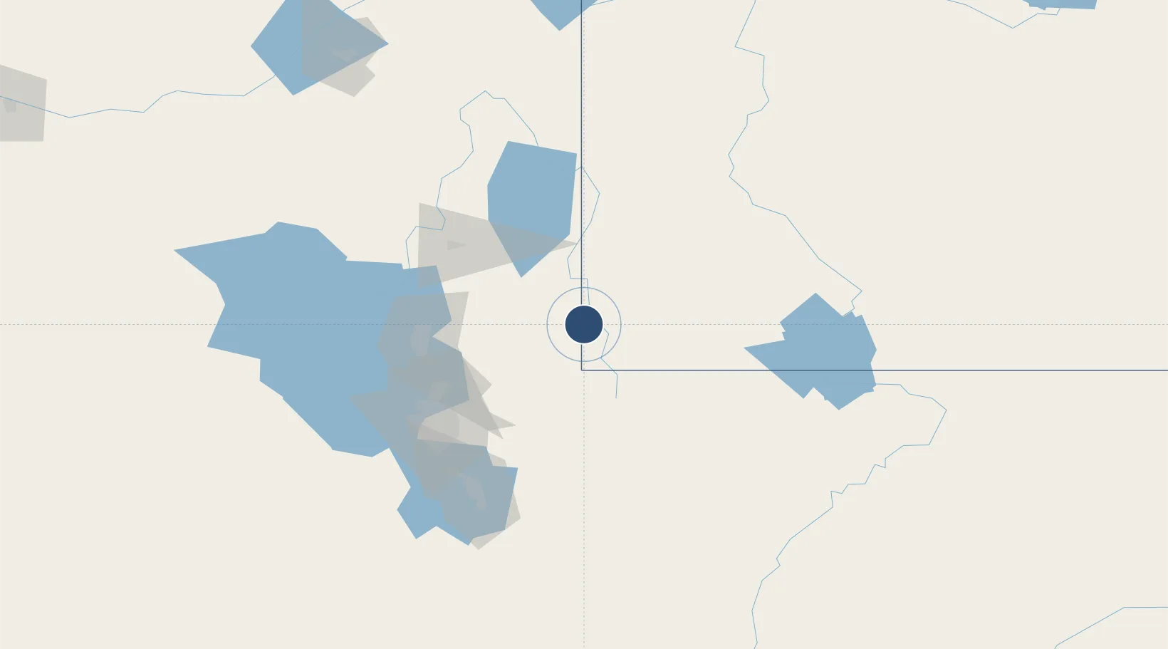
41.2748°, -111.0350°
7,300 ft
Longest runway
1
Runways
7,143 ft
Elevation

Runway & Layout

Evanston-Uinta County Airport-Burns Field runway & taxiway layout
Runway & taxiway layout — OpenStreetMap (ODbL) / OurAirports

Radio Frequencies

ASOS
120 MHz
CNTR
127.7 MHz
SALT LAKE CITY CNTR
UNIC
122.8 MHz
CTAF/UNICOM
OurAirports

Runways · 1

RunwayDimensions SurfaceTrue headingLit
05/23 7,300 × 100ft Asphalt 067°
OurAirports

Airport Specifications

IATA code
EVW
OurAirports
ICAO code
KEVW
OurAirports
Airport class
Medium airport
OurAirports
Scheduled service
No
OurAirports
Runway surface
Asphalt
OurAirports
Served city
Evanston
OurAirports

Location

Location of KEVW
Natural Earth 10m (public domain) · Wyoming · KEVW · 41.27, -111.04GoogleOSMYandex

Nearby Logistics Neighbours

Airports
  1. 1Hill Air Force Base80 km
  2. 2Ogden Hinckley Airport82 km
  3. 3Logan-Cache Airport89 km
  4. 4Salt Lake City International Airport96 km
  5. 5South Valley Regional Airport109 km
Nearest neighbours — logibook spatial index (haversine) over the source coordinates
Cities
  1. 1Henefer39 km
  2. 2Morgan61 km
  3. 3Mountain Green62 km
  4. 4Diamondville69 km
  5. 5South Ogden79 km
Nearest neighbours — logibook spatial index (haversine) over the source coordinates
Ports
  1. 1Sacramento941 km
  2. 2The Dalles949 km
  3. 3Stockton953 km
  4. 4Courtland957 km
  5. 5Walnut Grove957 km
Nearest neighbours — logibook spatial index (haversine) over the source coordinates
Trade Zones
  1. 1FTZ No. 030 Salt Lake City97 km
  2. 2FTZ No. 298 Jefferson County525 km
  3. 3FTZ No. 274 Butte-Silver Bow537 km
  4. 4FTZ No. 123 Denver539 km
  5. 5FTZ No. 275 Lansing540 km
Nearest neighbours — logibook spatial index (haversine) over the source coordinates
DatabookThe Record of Consolidated Knowledge
United States beyond logistics?
Browse databook

All Sources

AirportsOurAirports
Public domain
Portsthe NGA World Port Index
Public domain (US gov)
LocationsUN/LOCODE
UN/LOCODE — free
Trade Zonesthe World Bank SEZ database
CC BY 4.0
Trade ZonesOpen Zone Map
CC BY
InfrastructureOpenStreetMap
ODbL 1.0
← United States airports