UN/LOCODE hub · United States
USRM4
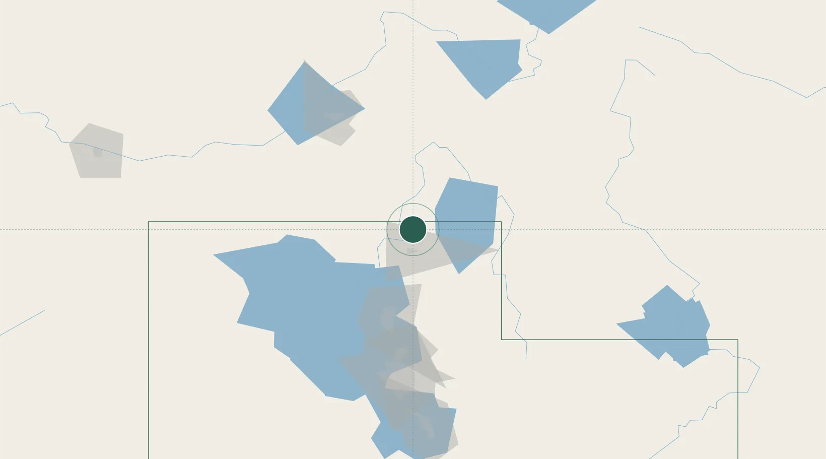
Richmond
41.9333°, -111.8000°
2,580
Population
2
Transport functions
Transport Functions
Rail
Road
Hub Profile
Place type
Populated place
Region
Utah
Population
2,580
Time zone
America/Denver
Elevation
1,405 m
Location
Nearby Logistics Neighbours
Cities
- 1Smithfield12 km
- 2Preston18 km
- 3North Logan19 km
- 4Plymouth29 km
- 5Collinston30 km
Ports
- 1The Dalles856 km
- 2Sacramento903 km
- 3Courtland921 km
- 4Stockton922 km
- 5Walnut Grove923 km
Airports
Trade Zones
- 1FTZ No. 030 Salt Lake City130 km
- 2FTZ No. 274 Butte-Silver Bow451 km
- 3FTZ No. 275 Lansing457 km
- 4FTZ No. 280 Ada and Canyon Counties464 km
- 5FTZ No. 298 Jefferson County610 km
DatabookThe Record of Consolidated Knowledge
United States beyond logistics?