Transport Functions
Port
Rail
Road
Hub Profile
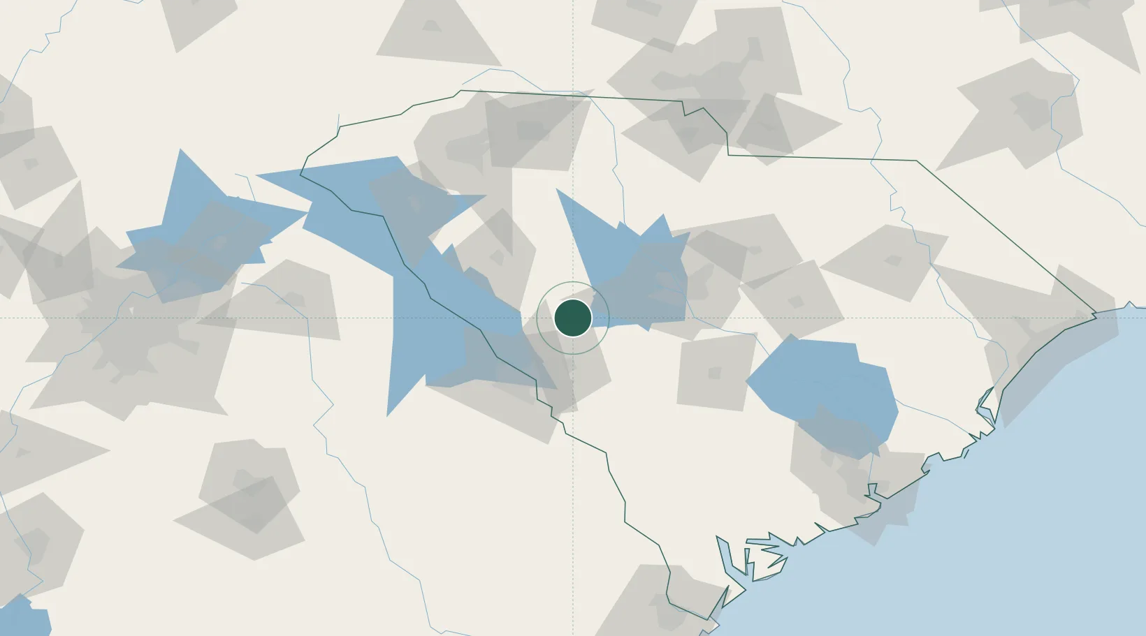
Place type
Populated place
Region
South Carolina
Population
92
Time zone
America/New_York
Elevation
203 m
Location
Nearby Logistics Neighbours
Cities
- 1Johnston9 km
- 2Trenton17 km
- 3Gilbert30 km
- 4Pelion46 km
- 5Little Mountain48 km
Ports
- 1Beaufort185 km
- 2Port Royal191 km
- 3Charleston205 km
- 4Savannah205 km
- 5Georgetown232 km
Airports
Trade Zones
- 1FTZ No. 127 West Columbia57 km
- 2FTZ No. 038 Spartanburg County125 km
- 3FTZ No. 021 Dorchester County127 km
- 4FTZ No. 057 Mecklenburg County167 km
- 5FTZ No. 104 Savannah204 km
DatabookThe Record of Consolidated Knowledge
United States beyond logistics?