Transport Functions
Multimodal
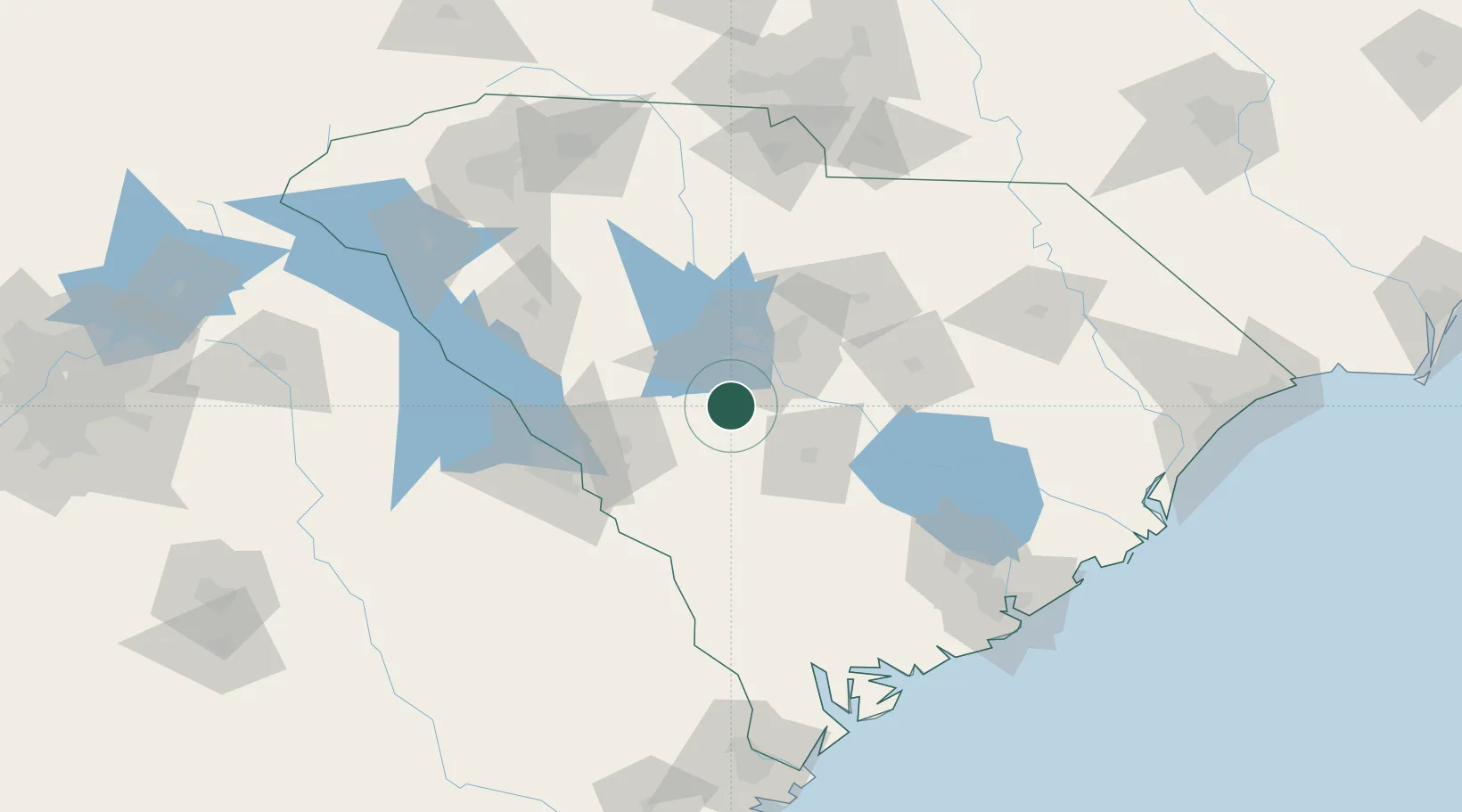
Hub Profile
Place type
Populated place
Region
South Carolina
Population
704
Time zone
America/New_York
Elevation
118 m
Location
Nearby Logistics Neighbours
Cities
- 1Swansea13 km
- 2North21 km
- 3Gilbert24 km
- 4Hopkins38 km
- 5Fort Jackson38 km
Ports
- 1Beaufort156 km
- 2Port Royal162 km
- 3Charleston163 km
- 4Georgetown186 km
- 5Savannah186 km
Airports
Trade Zones
DatabookThe Record of Consolidated Knowledge
United States beyond logistics?