UN/LOCODE hub · United States
USLMX
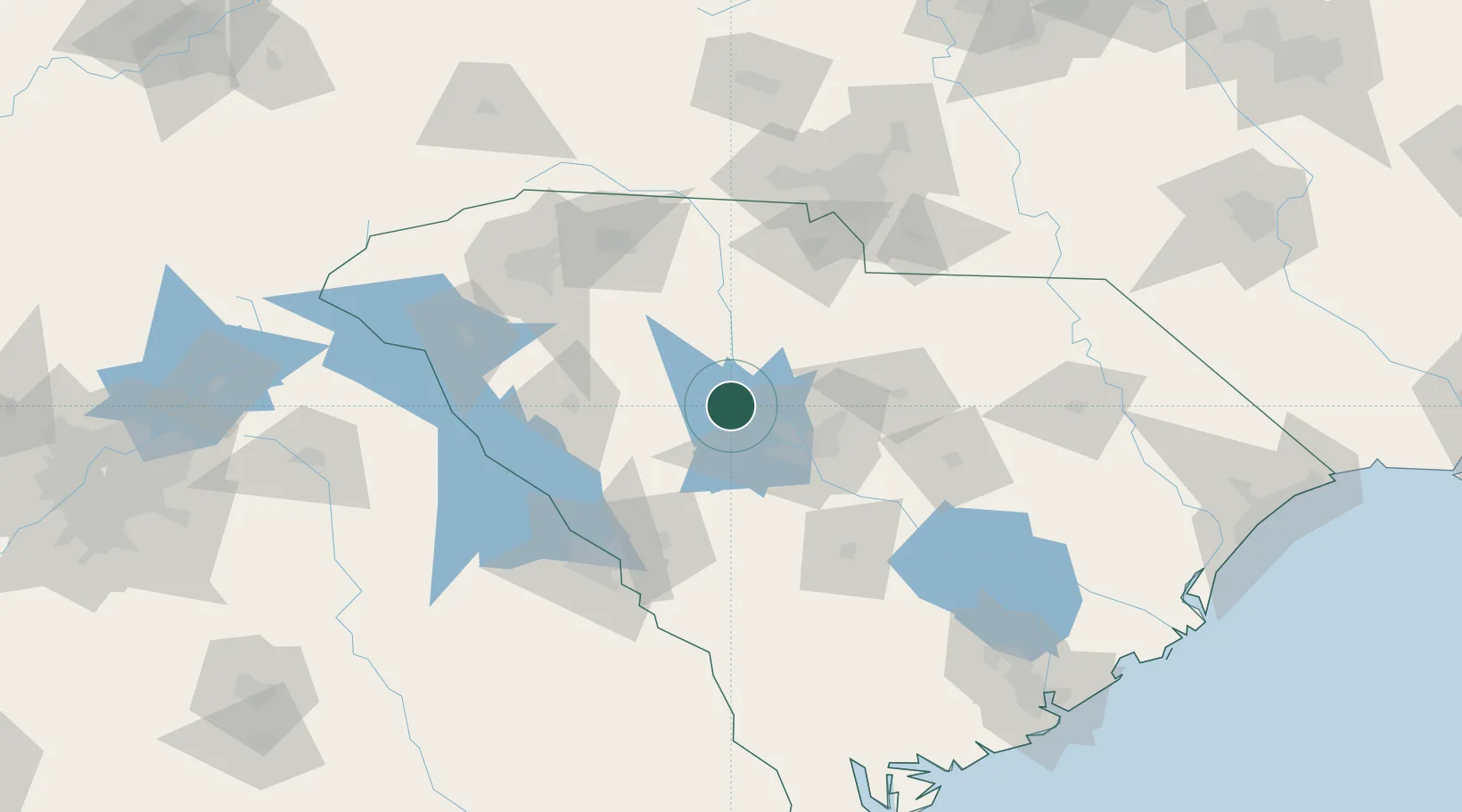
Little Mountain
34.2000°, -81.4167°
296
Population
3
Transport functions
Transport Functions
Rail
Road
Multimodal
Hub Profile
Place type
Populated place
Region
South Carolina
Population
296
Time zone
America/New_York
Elevation
187 m
Location
Nearby Logistics Neighbours
Cities
- 1Gilbert32 km
- 2Whitmire38 km
- 3Fort Jackson43 km
- 4Ridgeway44 km
- 5Blackstock46 km
Ports
- 1Beaufort208 km
- 2Charleston210 km
- 3Port Royal215 km
- 4Georgetown218 km
- 5Savannah237 km
Airports
Trade Zones
- 1FTZ No. 127 West Columbia35 km
- 2FTZ No. 038 Spartanburg County108 km
- 3FTZ No. 057 Mecklenburg County122 km
- 4FTZ No. 021 Dorchester County141 km
- 5FTZ No. 104 Savannah236 km
DatabookThe Record of Consolidated Knowledge
United States beyond logistics?