UN/LOCODE hub · United States
USJHE
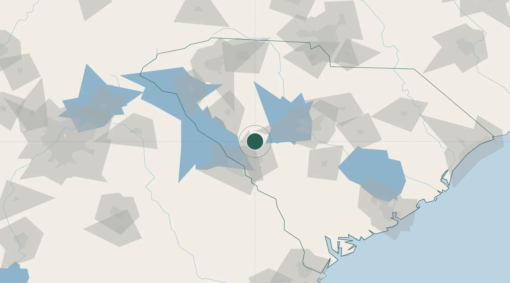
Johnston
33.8167°, -81.8000°
2,348
Population
3
Transport functions
Transport Functions
Rail
Road
Multimodal
Hub Profile
Place type
Populated place
Region
South Carolina
Population
2,348
Time zone
America/New_York
Elevation
202 m
Location
Nearby Logistics Neighbours
Cities
- 1Ward9 km
- 2Trenton10 km
- 3Gilbert39 km
- 4Martinez42 km
- 5North Augusta43 km
Ports
- 1Beaufort187 km
- 2Port Royal192 km
- 3Savannah204 km
- 4Charleston209 km
- 5Georgetown238 km
Airports
Trade Zones
- 1FTZ No. 127 West Columbia65 km
- 2FTZ No. 038 Spartanburg County126 km
- 3FTZ No. 021 Dorchester County130 km
- 4FTZ No. 057 Mecklenburg County173 km
- 5FTZ No. 104 Savannah203 km
DatabookThe Record of Consolidated Knowledge
United States beyond logistics?