Transport Functions
Road
Multimodal
Hub Profile
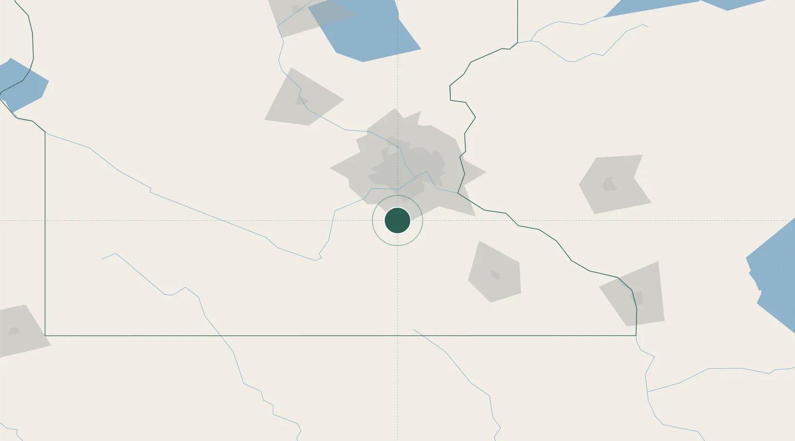
Place type
Populated place
Region
Minnesota
Time zone
America/Chicago
Elevation
318 m
Location
Nearby Logistics Neighbours
Cities
- 1Dundas15 km
- 2Farmington22 km
- 3Apple Valley26 km
- 4Jordan, Scott28 km
- 5Nerstrand30 km
Ports
- 1Superior266 km
- 2Duluth268 km
- 3Ashland302 km
- 4Washburn307 km
- 5Two Harbors308 km
Airports
Trade Zones
- 1FTZ No. 119 Minneapolis-St. Paul51 km
- 2FTZ No. 051 Duluth264 km
- 3FTZ No. 288 Northwest Iowa265 km
- 4FTZ No. 220 Sioux Falls296 km
- 5FTZ No. 175 Cedar Rapids310 km
DatabookThe Record of Consolidated Knowledge
United States beyond logistics?