Transport Functions
Rail
Road
Hub Profile
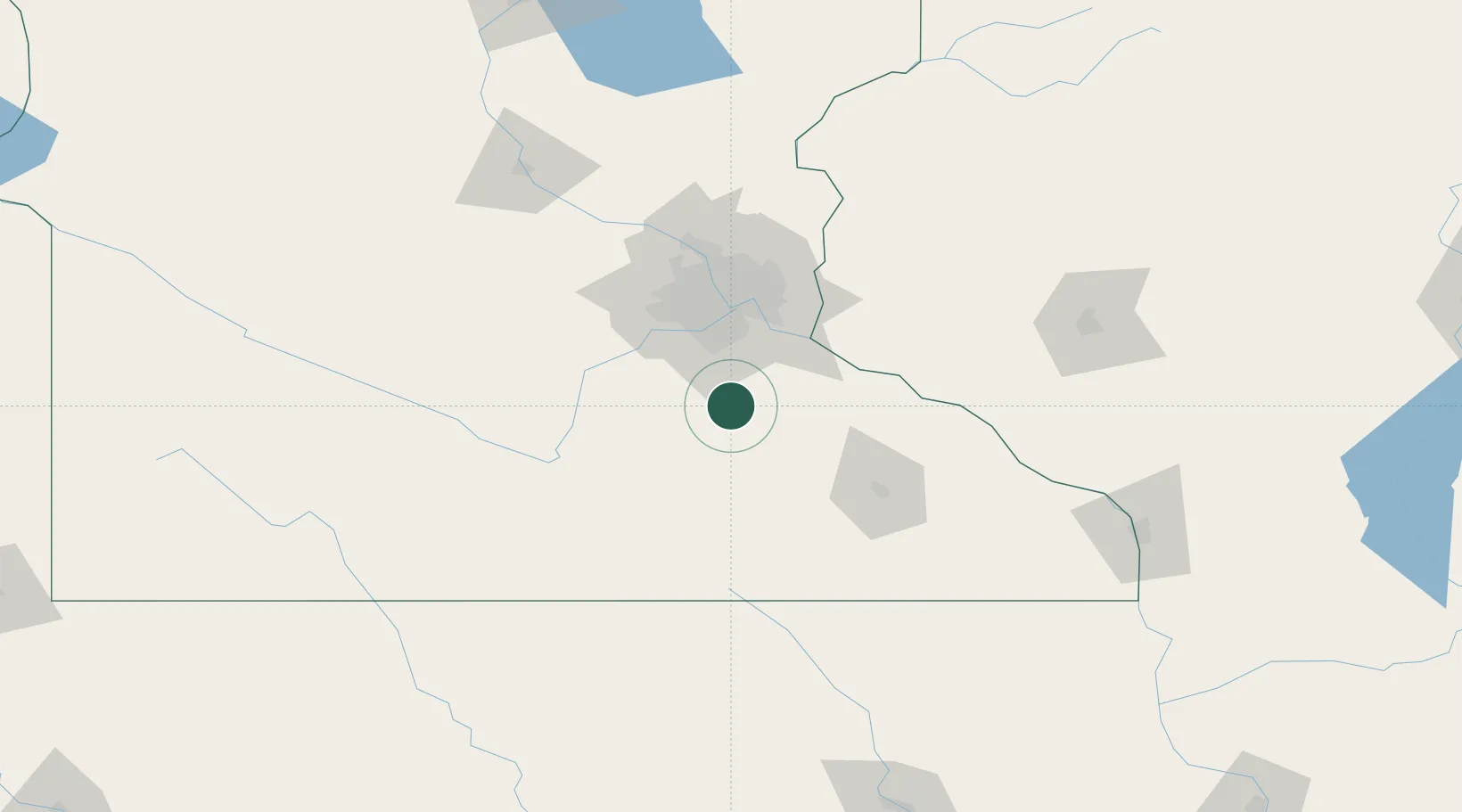
Place type
Populated place
Region
Minnesota
Population
1,481
Time zone
America/Chicago
Elevation
284 m
Location
Nearby Logistics Neighbours
Cities
- 1Webster15 km
- 2Nerstrand15 km
- 3Farmington23 km
- 4Apple Valley33 km
- 5Jordan, Scott43 km
Ports
- 1Superior271 km
- 2Duluth273 km
- 3Ashland302 km
- 4Washburn307 km
- 5Two Harbors311 km
Airports
Trade Zones
- 1FTZ No. 119 Minneapolis-St. Paul60 km
- 2FTZ No. 051 Duluth270 km
- 3FTZ No. 288 Northwest Iowa271 km
- 4FTZ No. 175 Cedar Rapids297 km
- 5FTZ No. 220 Sioux Falls304 km
DatabookThe Record of Consolidated Knowledge
United States beyond logistics?