UN/LOCODE hub · United States
USFIG
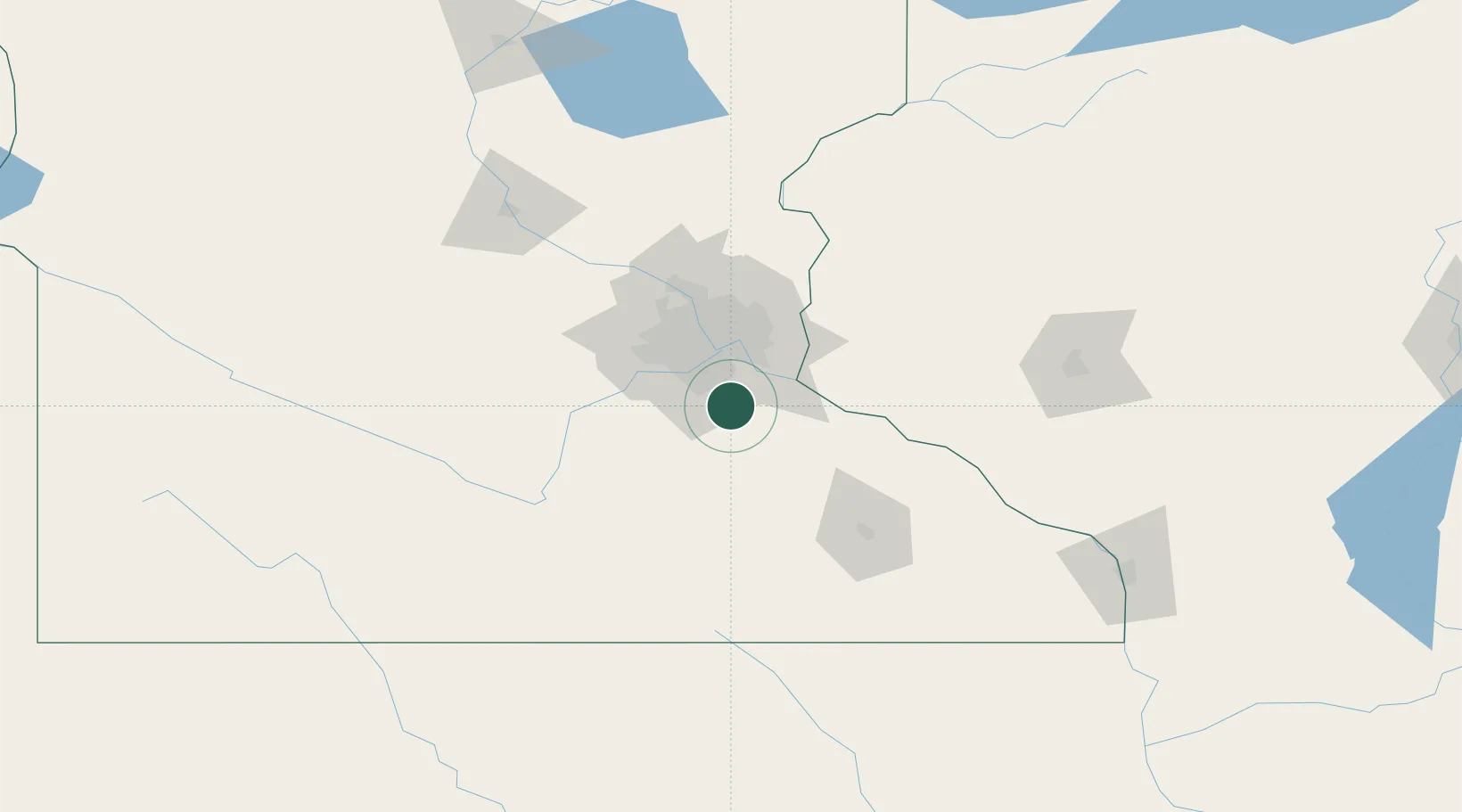
Farmington
44.6333°, -93.1333°
22,731
Population
2
Transport functions
Transport Functions
Road
Multimodal
Hub Profile
Place type
Populated place
Region
Minnesota
Population
22,731
Time zone
America/Chicago
Elevation
275 m
Location
Nearby Logistics Neighbours
Cities
- 1Apple Valley13 km
- 2Webster22 km
- 3Dundas23 km
- 4Saint Paul Park25 km
- 5Cottage Grove26 km
Ports
- 1Superior248 km
- 2Duluth250 km
- 3Ashland281 km
- 4Washburn286 km
- 5Two Harbors289 km
Airports
Trade Zones
- 1FTZ No. 119 Minneapolis-St. Paul38 km
- 2FTZ No. 051 Duluth247 km
- 3FTZ No. 288 Northwest Iowa287 km
- 4FTZ No. 175 Cedar Rapids316 km
- 5FTZ No. 220 Sioux Falls316 km
DatabookThe Record of Consolidated Knowledge
United States beyond logistics?