Transport Functions
Rail
Road
Multimodal
Hub Profile
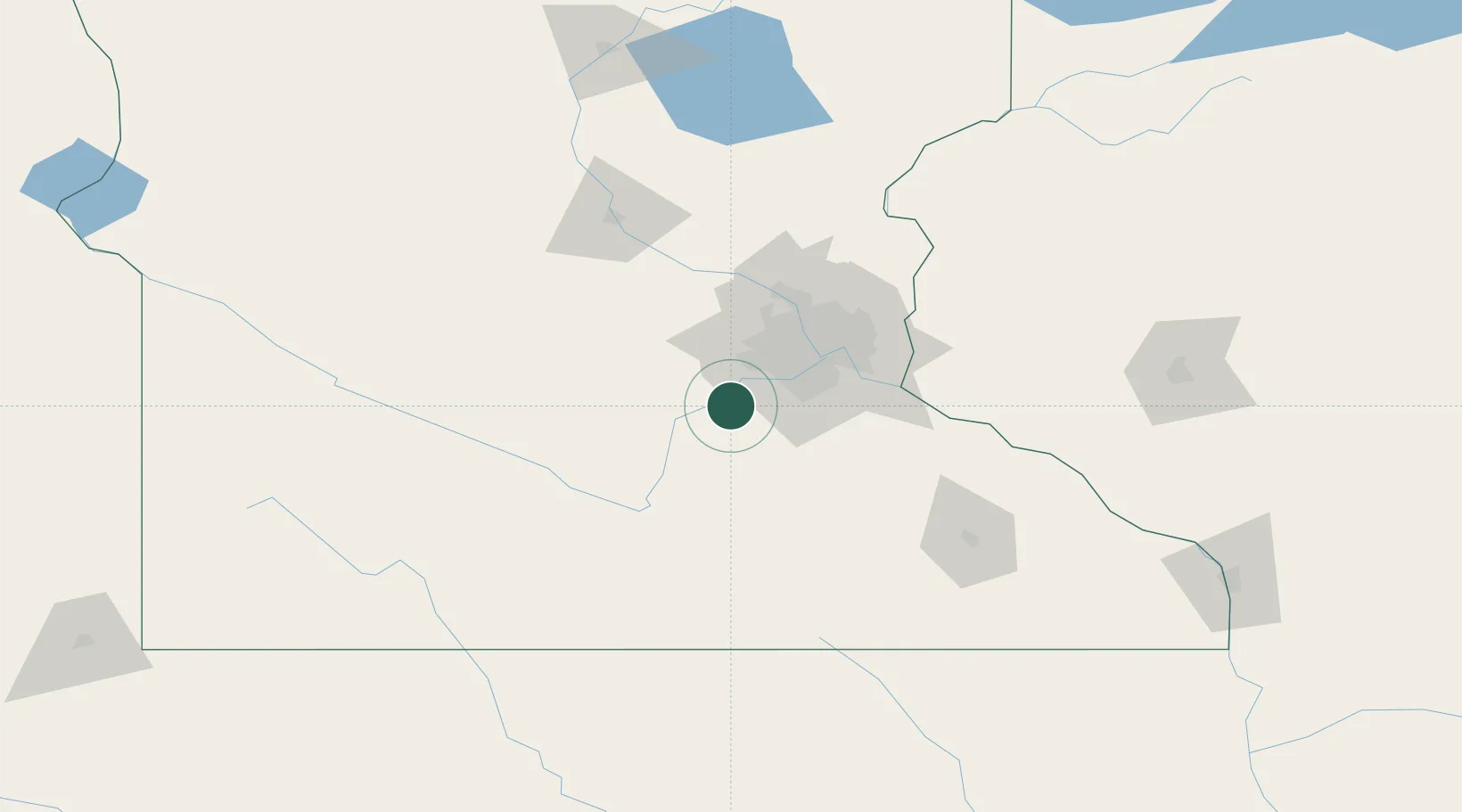
Region
MN
Location
Nearby Logistics Neighbours
Cities
- 1Belle Plaine12 km
- 2Bongards18 km
- 3Norwood25 km
- 4Henderson27 km
- 5Webster28 km
Ports
- 1Superior260 km
- 2Duluth262 km
- 3Two Harbors303 km
- 4Ashland304 km
- 5Washburn308 km
Airports
Trade Zones
- 1FTZ No. 119 Minneapolis-St. Paul46 km
- 2FTZ No. 051 Duluth257 km
- 3FTZ No. 288 Northwest Iowa257 km
- 4FTZ No. 220 Sioux Falls281 km
- 5FTZ No. 107 Polk County333 km
DatabookThe Record of Consolidated Knowledge
United States beyond logistics?