UN/LOCODE hub · United States
USYAW
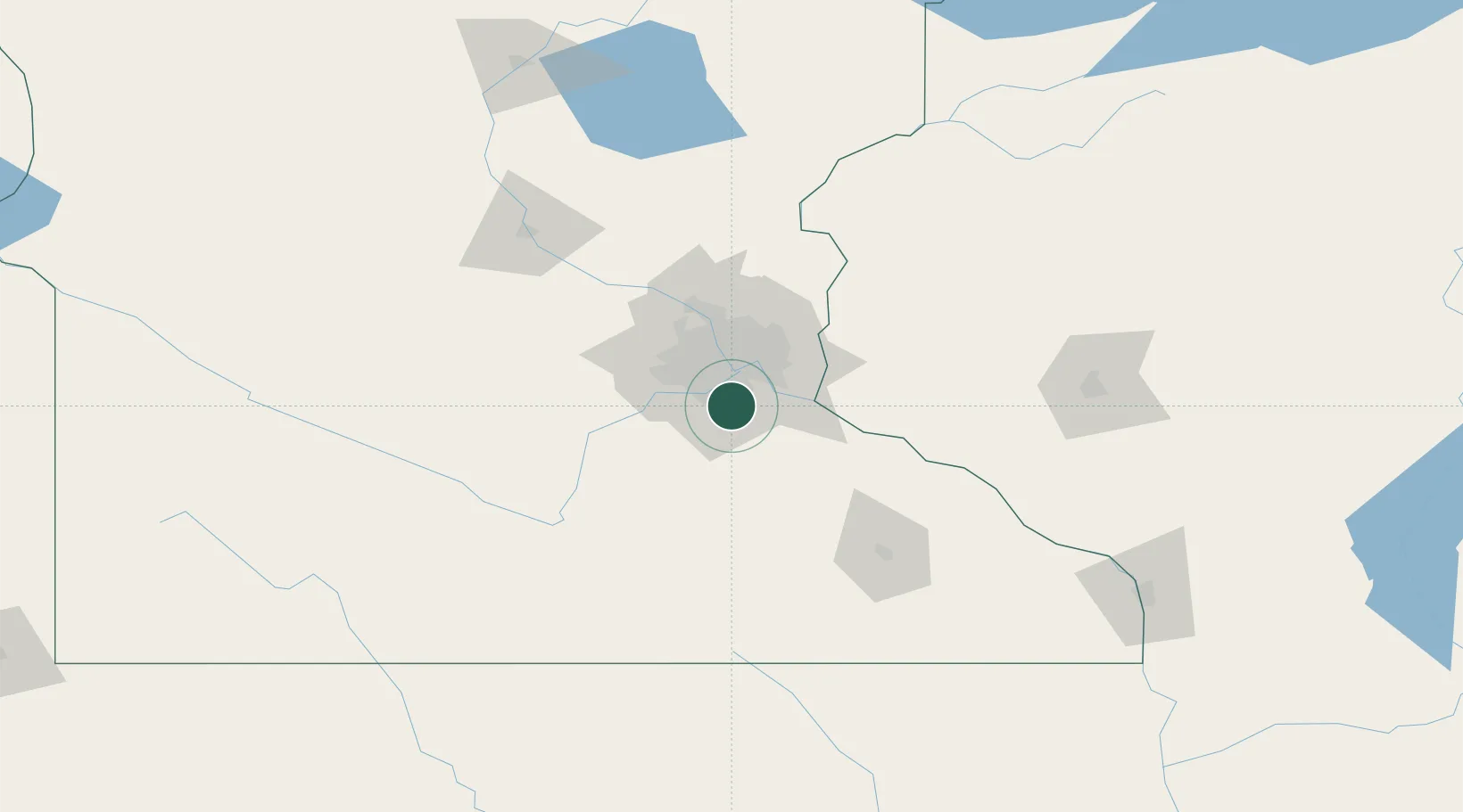
Apple Valley
44.7333°, -93.2167°
51,221
Population
2
Transport functions
Transport Functions
Road
Multimodal
Hub Profile
Place type
Populated place
Region
Minnesota
Population
51,221
Time zone
America/Chicago
Elevation
291 m
Location
Nearby Logistics Neighbours
Cities
- 1Farmington13 km
- 2Mendota Heights18 km
- 3Fort Snelling19 km
- 4South Saint Paul21 km
- 5Saint Paul Park22 km
Ports
- 1Superior240 km
- 2Duluth242 km
- 3Ashland276 km
- 4Washburn281 km
- 5Two Harbors281 km
Airports
Trade Zones
- 1FTZ No. 119 Minneapolis-St. Paul26 km
- 2FTZ No. 051 Duluth238 km
- 3FTZ No. 288 Northwest Iowa288 km
- 4FTZ No. 220 Sioux Falls314 km
- 5FTZ No. 175 Cedar Rapids328 km
DatabookThe Record of Consolidated Knowledge
United States beyond logistics?