Transport Functions
Road
Multimodal
Hub Profile
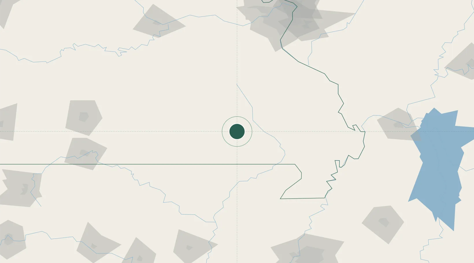
Place type
Provincial seat
Region
Missouri
Population
834
Time zone
America/Chicago
Elevation
144 m
Location
Nearby Logistics Neighbours
Ports
- 1Port Of Memphis226 km
- 2Gary605 km
- 3Indiana Harbor605 km
- 4Calumet Harbor608 km
- 5Chicago619 km
Airports
Trade Zones
- 1FTZ No. 283 West Tennessee183 km
- 2FTZ No. 102 St. Louis County187 km
- 3FTZ No. 225 Springfield191 km
- 4FTZ No. 031 Granite City208 km
- 5FTZ No. 294 Western Kentucky216 km
DatabookThe Record of Consolidated Knowledge
United States beyond logistics?