Transport Functions
Road
Multimodal
Hub Profile
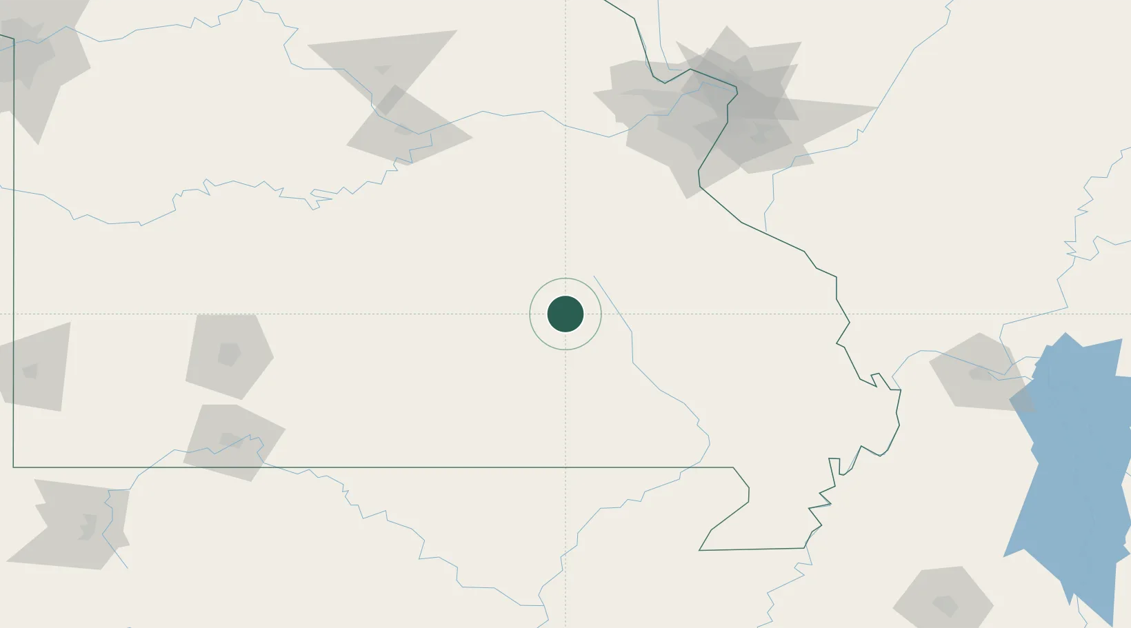
Place type
Populated place
Region
Missouri
Population
400
Time zone
America/Chicago
Elevation
425 m
Location
Nearby Logistics Neighbours
Cities
- 1Viburnum31 km
- 2Ironton54 km
- 3Van Buren54 km
- 4Saint James69 km
- 5Cuba69 km
Ports
- 1Port Of Memphis281 km
- 2Indiana Harbor569 km
- 3Gary570 km
- 4Calumet Harbor571 km
- 5Chicago581 km
Airports
Trade Zones
- 1FTZ No. 102 St. Louis County140 km
- 2FTZ No. 031 Granite City168 km
- 3FTZ No. 225 Springfield175 km
- 4FTZ No. 283 West Tennessee233 km
- 5FTZ No. 294 Western Kentucky236 km
DatabookThe Record of Consolidated Knowledge
United States beyond logistics?