UN/LOCODE hub · United States
USDPH
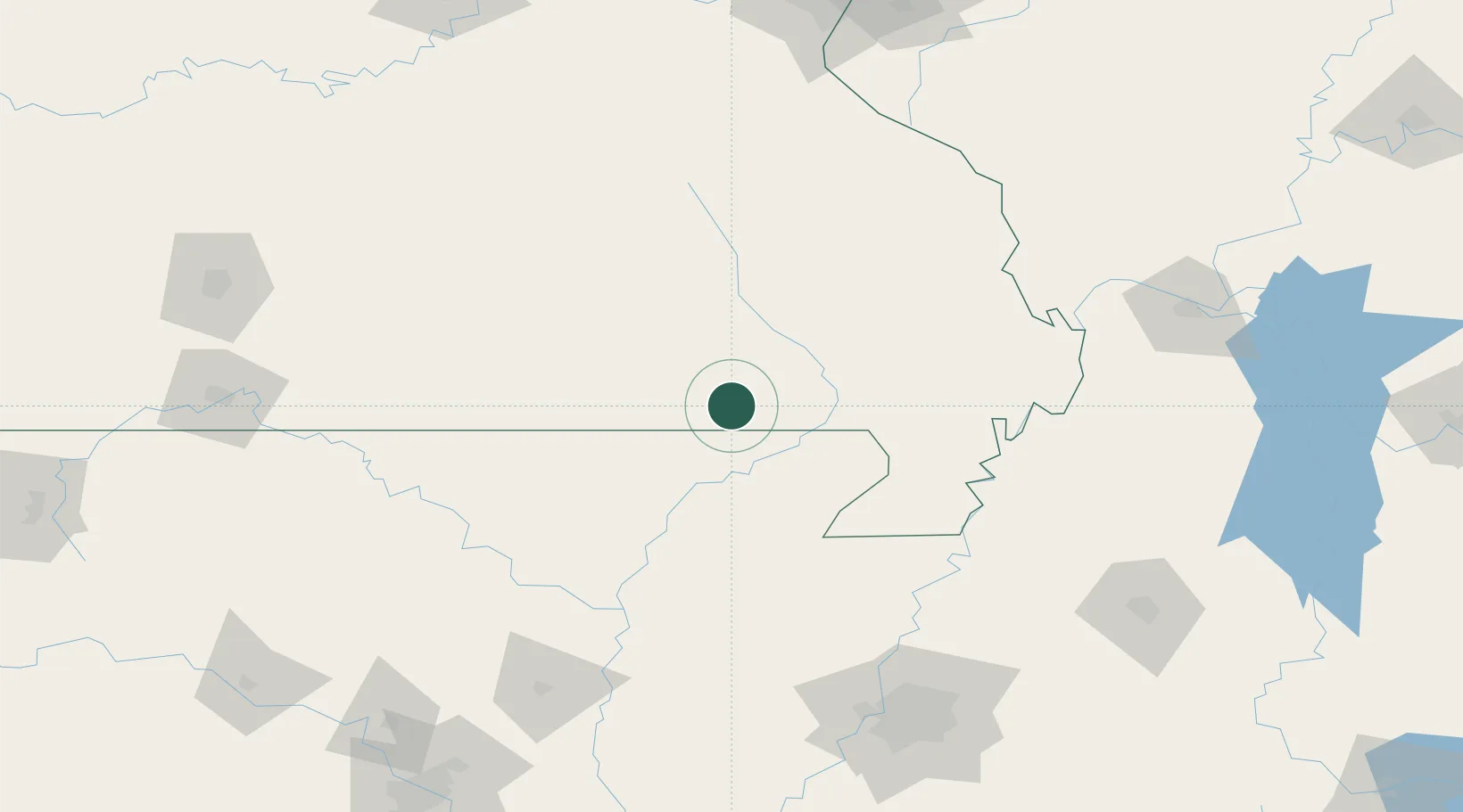
Doniphan
36.6167°, -90.8167°
1,991
Population
3
Transport functions
Transport Functions
Port
Rail
Road
Hub Profile
Place type
Provincial seat
Region
Missouri
Population
1,991
Time zone
America/Chicago
Elevation
122 m
Location
Nearby Logistics Neighbours
Ports
- 1Port Of Memphis182 km
- 2Gary632 km
- 3Indiana Harbor633 km
- 4Calumet Harbor636 km
- 5Chicago648 km
Airports
- 1Jonesboro Municipal Airport89 km
- 2Arkansas International Airport107 km
- 3Cape Girardeau Regional Airport130 km
- 4Ozark Regional Airport150 km
- 5Millington-Memphis Airport164 km
Trade Zones
- 1FTZ No. 283 West Tennessee141 km
- 2FTZ No. 273 West Memphis173 km
- 3FTZ No. 077 Memphis173 km
- 4FTZ No. 223 Memphis177 km
- 5FTZ No. 262 Southaven198 km
DatabookThe Record of Consolidated Knowledge
United States beyond logistics?