Transport Functions
Rail
Road
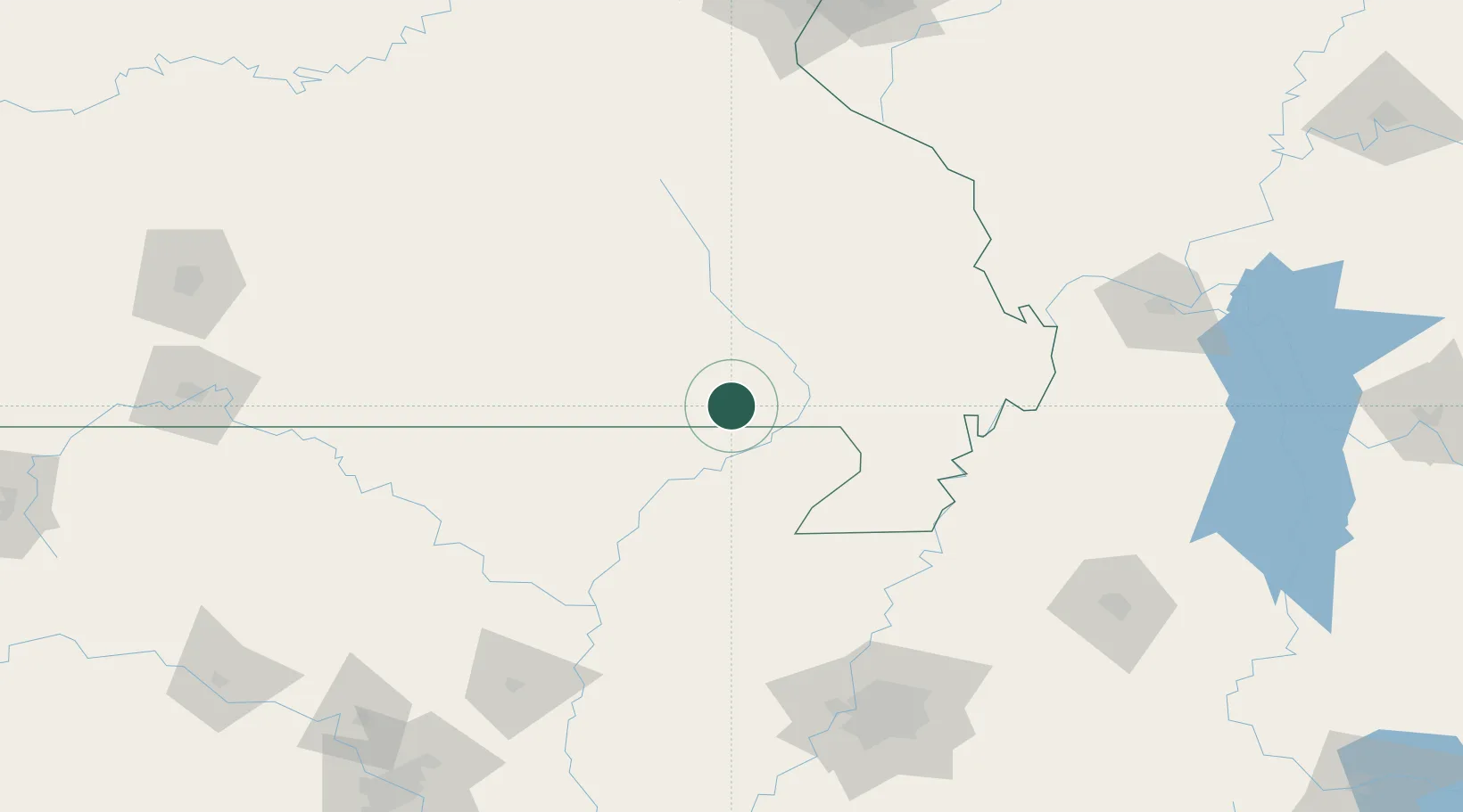
Hub Profile
Place type
Populated place
Region
Missouri
Population
200
Time zone
America/Chicago
Elevation
104 m
Location
Nearby Logistics Neighbours
Ports
- 1Port Of Memphis177 km
- 2Gary628 km
- 3Indiana Harbor629 km
- 4Calumet Harbor633 km
- 5Chicago645 km
Airports
Trade Zones
- 1FTZ No. 283 West Tennessee131 km
- 2FTZ No. 273 West Memphis168 km
- 3FTZ No. 077 Memphis168 km
- 4FTZ No. 223 Memphis172 km
- 5FTZ No. 262 Southaven193 km
DatabookThe Record of Consolidated Knowledge
United States beyond logistics?