Medium airport · United States

Cape Girardeau Regional AirportKCGI
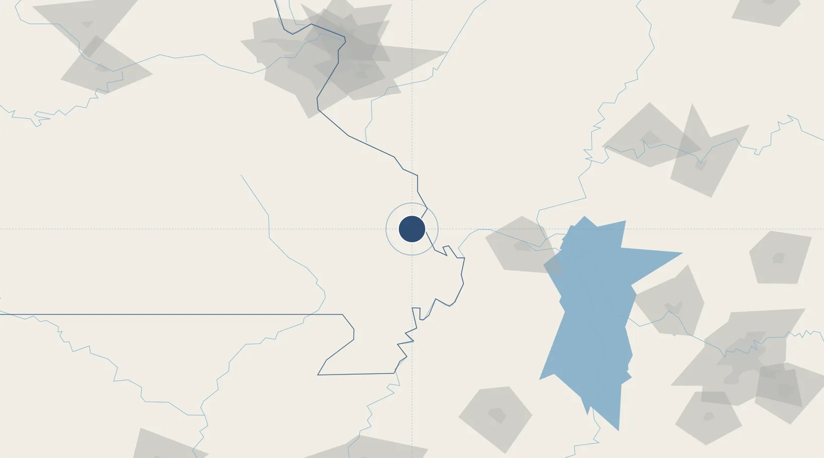
37.2253°, -89.5708°
6,500 ft
Longest runway
2
Runways
342 ft
Elevation

Runway & Layout

Cape Girardeau Regional Airport runway & taxiway layout
Runway & taxiway layout — OpenStreetMap (ODbL) / OurAirports

Radio Frequencies

ASOS
120.55 MHz
TWR
119 MHz
GND
121.6 MHz
CTAF
119 MHz
CNTR
133.65 MHz
MEMPHIS CNTR
RDO
122.4 MHz
ST LOUIS RDO
UNIC
122.95 MHz
UNICOM
OurAirports

Navaids

CG NDB Dutch 248 kHz
CGI VOR-DME Cape Girardeau 112.90 MHz
OurAirports

Runways · 2

RunwayDimensions SurfaceTrue headingLit
10/28 6,500 × 150ft Concrete 106°
02/20 3,997 × 100ft Asphalt / concrete 021°
OurAirports

Airport Specifications

IATA code
CGI
OurAirports
ICAO code
KCGI
OurAirports
Airport class
Medium airport
OurAirports
Scheduled service
Yes
OurAirports
Runway surface
Concrete
OurAirports
Served city
Cape Girardeau
OurAirports

Location

Location of KCGI
Natural Earth 10m (public domain) · Missouri · KCGI · 37.23, -89.57GoogleOSMYandex

Nearby Logistics Neighbours

Airports
  1. 1Southern Illinois Airport68 km
  2. 2Barkley Regional Airport73 km
  3. 3Veterans Airport of Southern Illinois76 km
  4. 4Arkansas International Airport144 km
  5. 5Scott AFB/Midamerica Airport149 km
Nearest neighbours — logibook spatial index (haversine) over the source coordinates
Cities
  1. 1Chaffee8 km
  2. 2Oran17 km
  3. 3Tamms27 km
  4. 4Morehouse45 km
  5. 5Altenburg45 km
Nearest neighbours — logibook spatial index (haversine) over the source coordinates
Ports
  1. 1Port Of Memphis246 km
  2. 2Gary525 km
  3. 3Indiana Harbor527 km
  4. 4Calumet Harbor531 km
  5. 5Chicago545 km
Nearest neighbours — logibook spatial index (haversine) over the source coordinates
Trade Zones
  1. 1FTZ No. 294 Western Kentucky89 km
  2. 2FTZ No. 283 West Tennessee164 km
  3. 3FTZ No. 031 Granite City177 km
  4. 4FTZ No. 102 St. Louis County187 km
  5. 5FTZ No. 177 Evansville193 km
Nearest neighbours — logibook spatial index (haversine) over the source coordinates
DatabookThe Record of Consolidated Knowledge
United States beyond logistics?
Browse databook

All Sources

AirportsOurAirports
Public domain
Portsthe NGA World Port Index
Public domain (US gov)
LocationsUN/LOCODE
UN/LOCODE — free
Trade Zonesthe World Bank SEZ database
CC BY 4.0
Trade ZonesOpen Zone Map
CC BY
InfrastructureOpenStreetMap
ODbL 1.0
← United States airports