Transport Functions
Port
Hub Profile
Place type
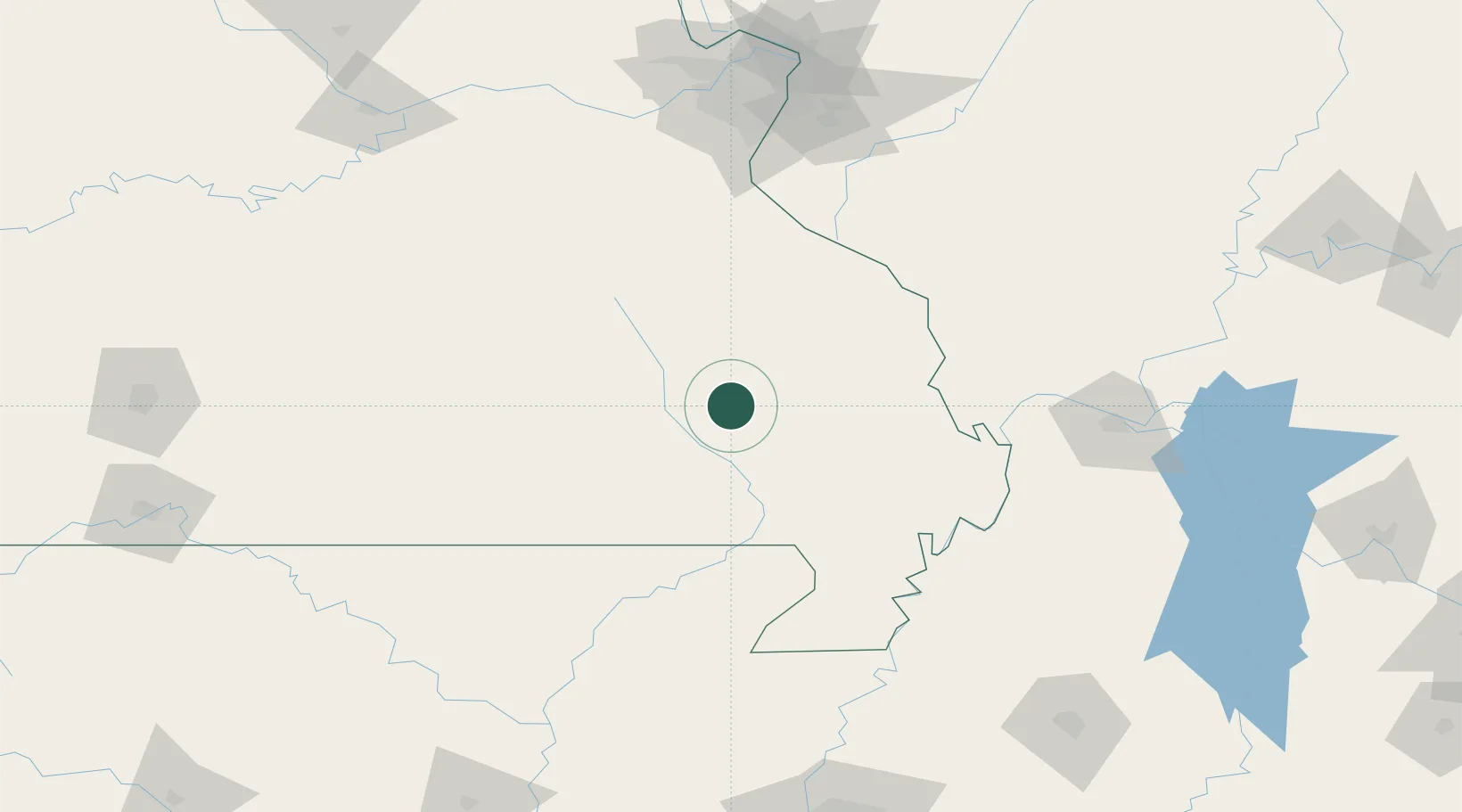
Populated place
Region
Missouri
Time zone
America/Chicago
Elevation
123 m
Location
Nearby Logistics Neighbours
Cities
- 1Fredericktown46 km
- 2Ironton50 km
- 3Van Buren53 km
- 4Bloomfield57 km
- 5Oxly66 km
Ports
- 1Port Of Memphis235 km
- 2Gary563 km
- 3Indiana Harbor564 km
- 4Calumet Harbor567 km
- 5Chicago579 km
Airports
Trade Zones
- 1FTZ No. 102 St. Louis County166 km
- 2FTZ No. 294 Western Kentucky168 km
- 3FTZ No. 283 West Tennessee173 km
- 4FTZ No. 031 Granite City177 km
- 5FTZ No. 273 West Memphis226 km
DatabookThe Record of Consolidated Knowledge
United States beyond logistics?