Transport Functions
Rail
Road
Hub Profile
Place type
Populated place
Region
Colorado
Time zone
America/Denver
Elevation
1,259 m
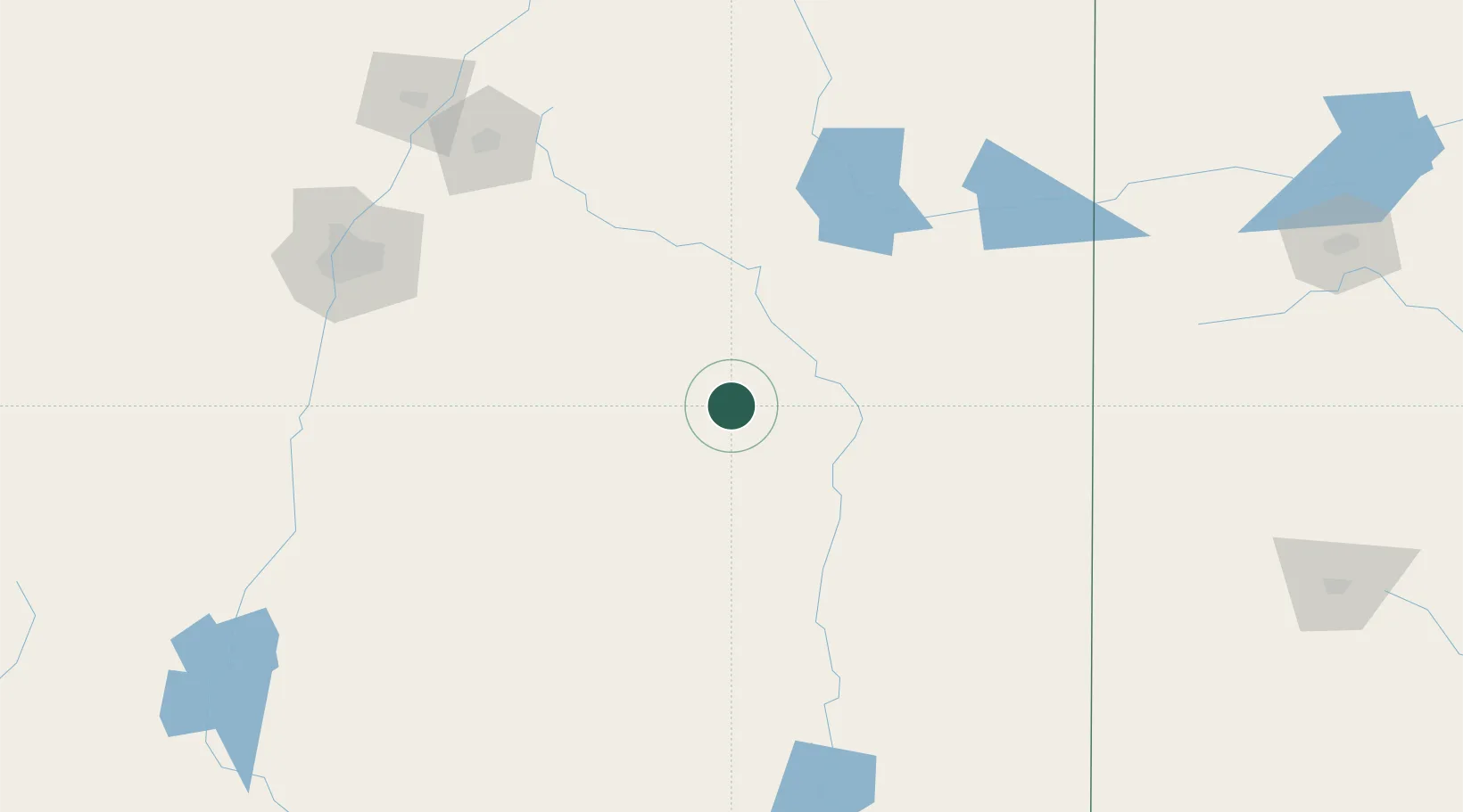
Location
Nearby Logistics Neighbours
Cities
- 1Vaughn45 km
- 2Santa Rosa58 km
- 3Culebra94 km
- 4Willard116 km
- 5Elida116 km
Ports
- 1Guaymas929 km
- 2Port Lavaca1007 km
- 3Corpus Christi1016 km
- 4Rockport1023 km
- 5Deer Park1030 km
Airports
- 1Roswell Air Center Airport126 km
- 2Sierra Blanca Regional Airport127 km
- 3Cannon Air Force Base134 km
- 4Tucumcari Municipal Airport137 km
- 5Las Vegas Municipal Airport141 km
Trade Zones
- 1FTZ No. 110 Albuquerque200 km
- 2FTZ No. 260 Lubbock270 km
- 3FTZ No. 261 Alexandria270 km
- 4FTZ No. 252 Amarillo280 km
- 5FTZ No. 068 El Paso324 km
DatabookThe Record of Consolidated Knowledge
United States beyond logistics?