Medium airport · United States
Roswell Air Center AirportKROW
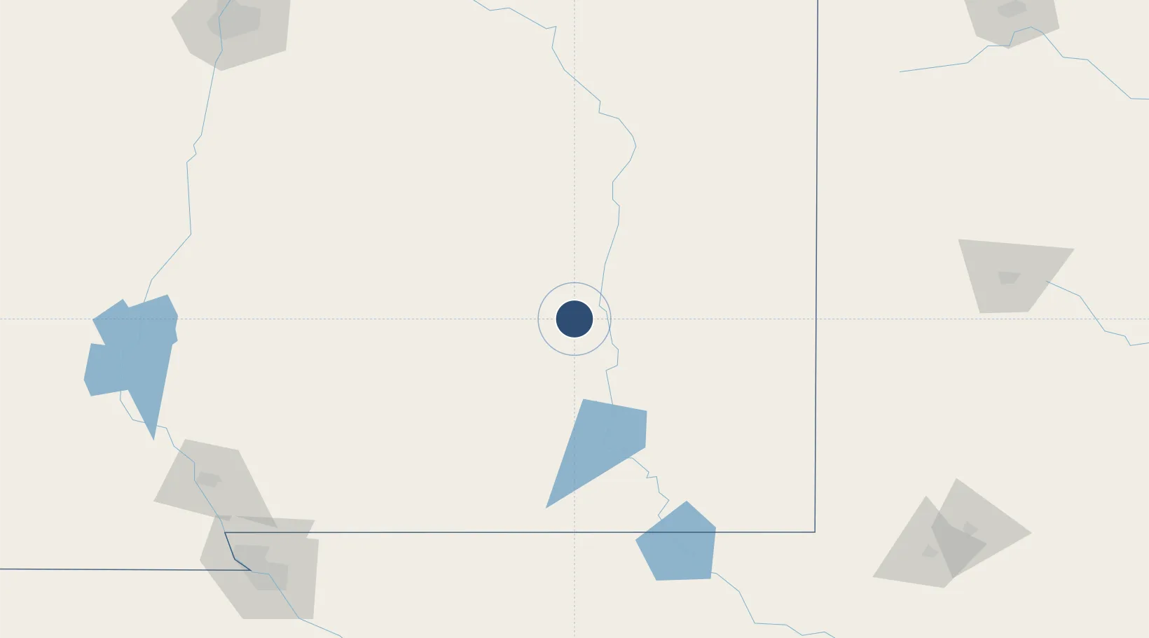
33.3016°, -104.5310°
13,000 ft
Longest runway
2
Runways
3,671 ft
Elevation
Runway & Layout

Radio Frequencies
ATIS
128.45 MHz
TWR
118.5 MHz
GND
121.9 MHz
CLD
132.875 MHz
CLNC DEL
CTAF
118.5 MHz
A/D
119.6 MHz
APP/DEP
RDO
122.45 MHz
ALBUQUERQUE RDO
UNIC
122.95 MHz
UNICOM
Runways · 2
| Runway | Dimensions | Surface | True heading | Lit |
|---|---|---|---|---|
| 03/21 | 13,000 × 150ft | Asphalt / concrete | 045° | ✓ |
| 17/35 | 10,008 × 100ft | Asphalt | 180° | ✓ |
Airport Specifications
IATA code
ROW
ICAO code
KROW
Airport class
Medium airport
Scheduled service
Yes
Runway surface
Asphalt / concrete
Served city
Roswell
Location
Nearby Logistics Neighbours
Airports
Cities
- 1Dexter20 km
- 2Carlsbad103 km
- 3Elida109 km
- 4Buchanan126 km
- 5Holloman Air Force Base152 km
Ports
- 1Guaymas855 km
- 2Corpus Christi915 km
- 3Port Lavaca917 km
- 4Rockport925 km
- 5Port Ingleside931 km
Trade Zones
- 1FTZ No. 260 Lubbock234 km
- 2FTZ No. 261 Alexandria234 km
- 3FTZ No. 068 El Paso238 km
- 4FTZ No. 150 El Paso238 km
- 5FTZ No. 165 Midland261 km
DatabookThe Record of Consolidated Knowledge
United States beyond logistics?